The impressive Mount Bruce located in Karijini National Park is the second highest peak in Western Australia at 1,234m. We tackled this gruelling 10km return climb on the 18th of July 2021.
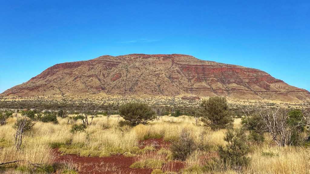
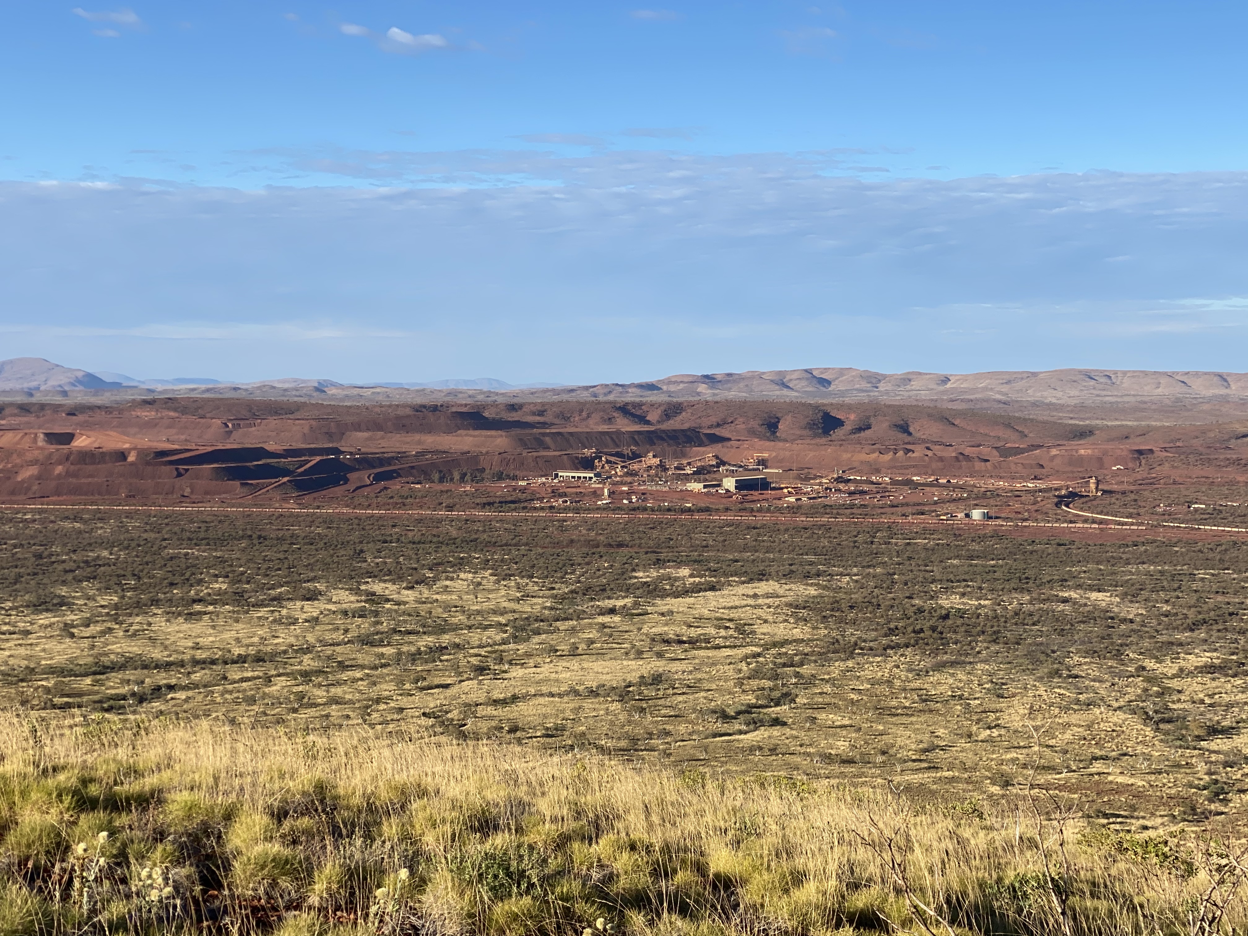
We set off from Tom Price in the darkness planning an early morning hike as we knew the day would quickly warm up. There was already a few cars in the carpark when we set off on the trail at 7am. The first half kilometre is nice and easy, seeing some great views, getting dragged into a false sense of security. The Marandoo trail first part ends at a lookout over to the large mine site below to the right somewhat looking out of place in this beautiful National park. Alongside the mine site is the railway line as we would be seeing and hearing many iron ore trains going about their business.
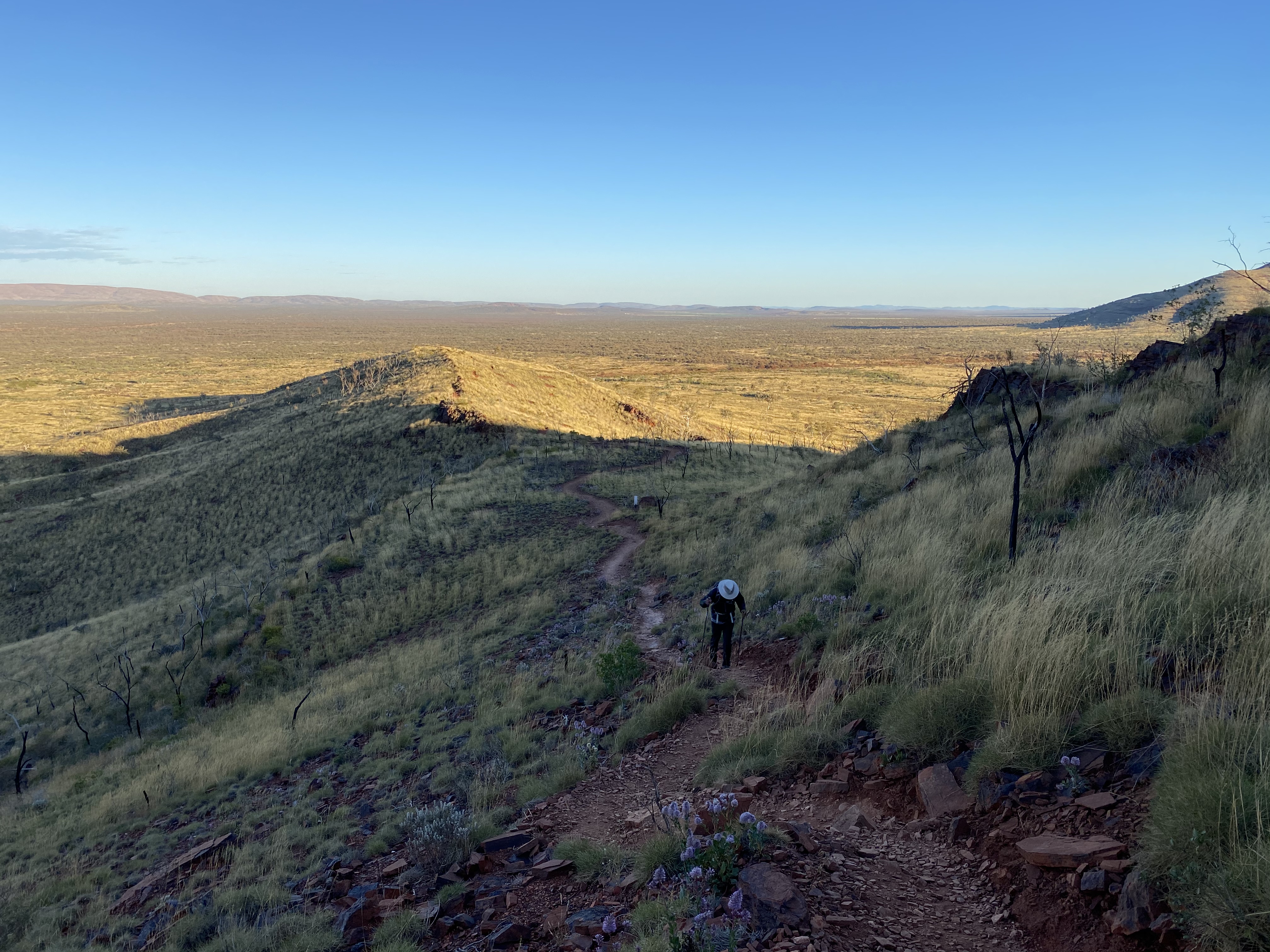
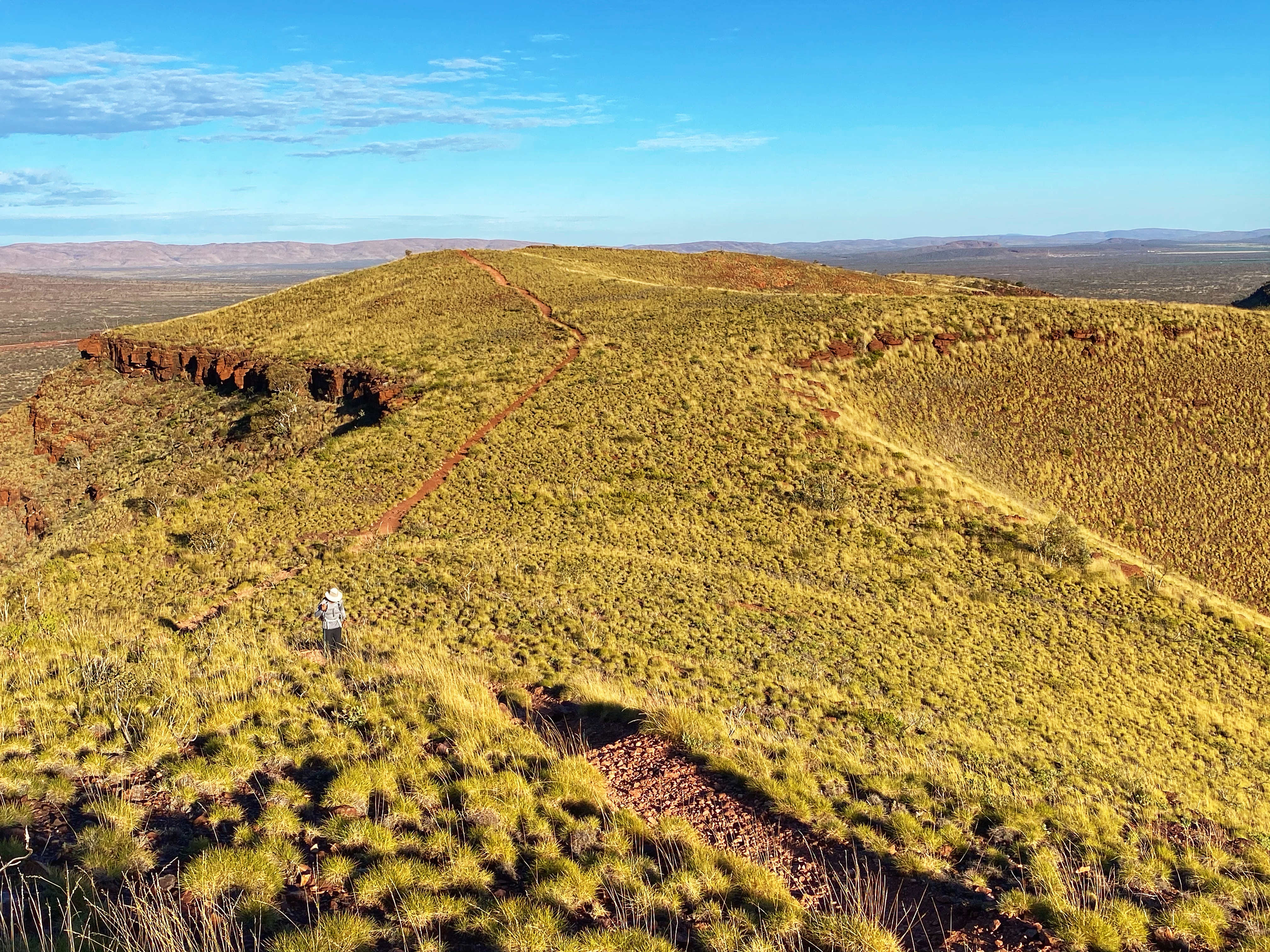
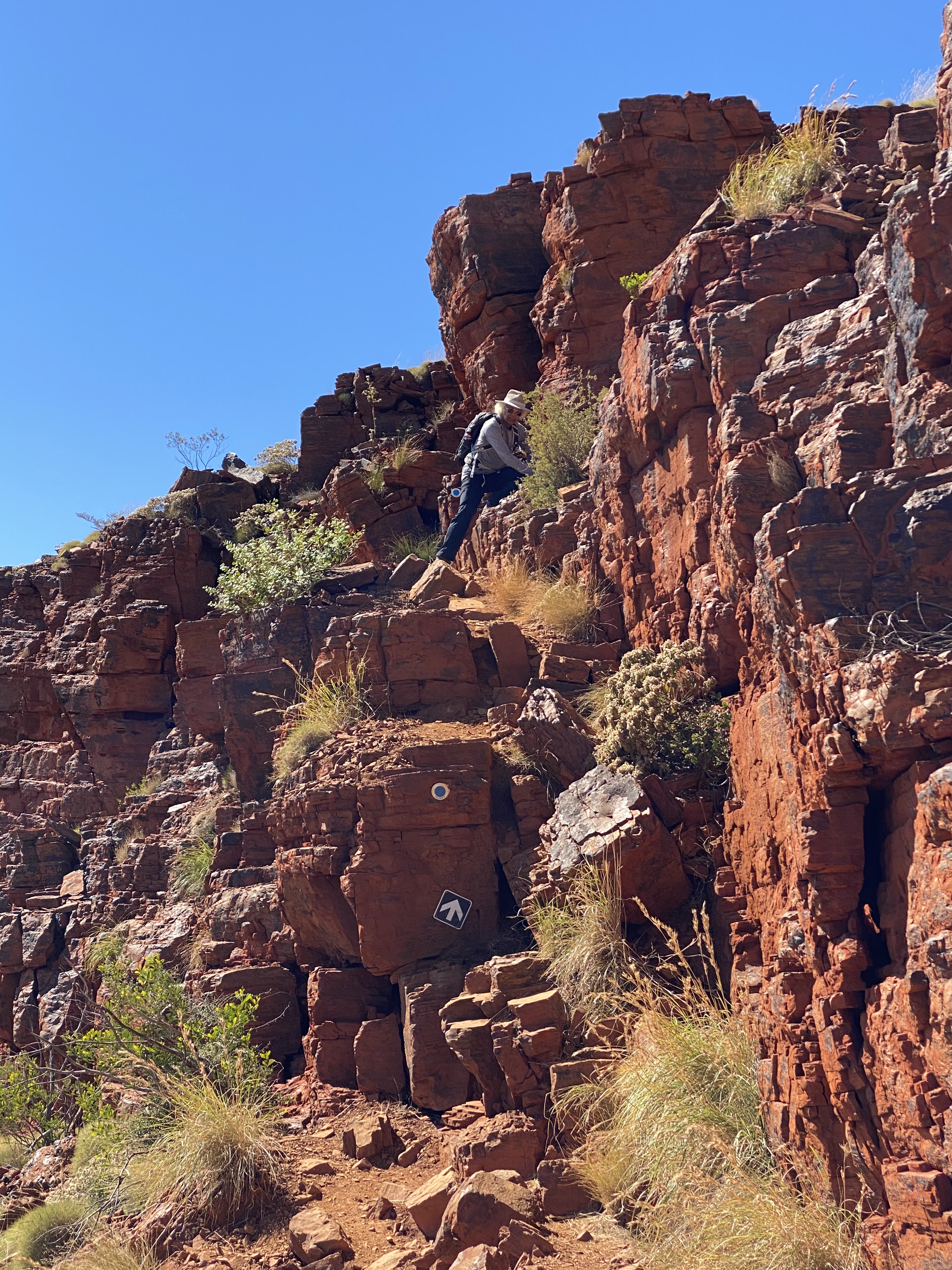
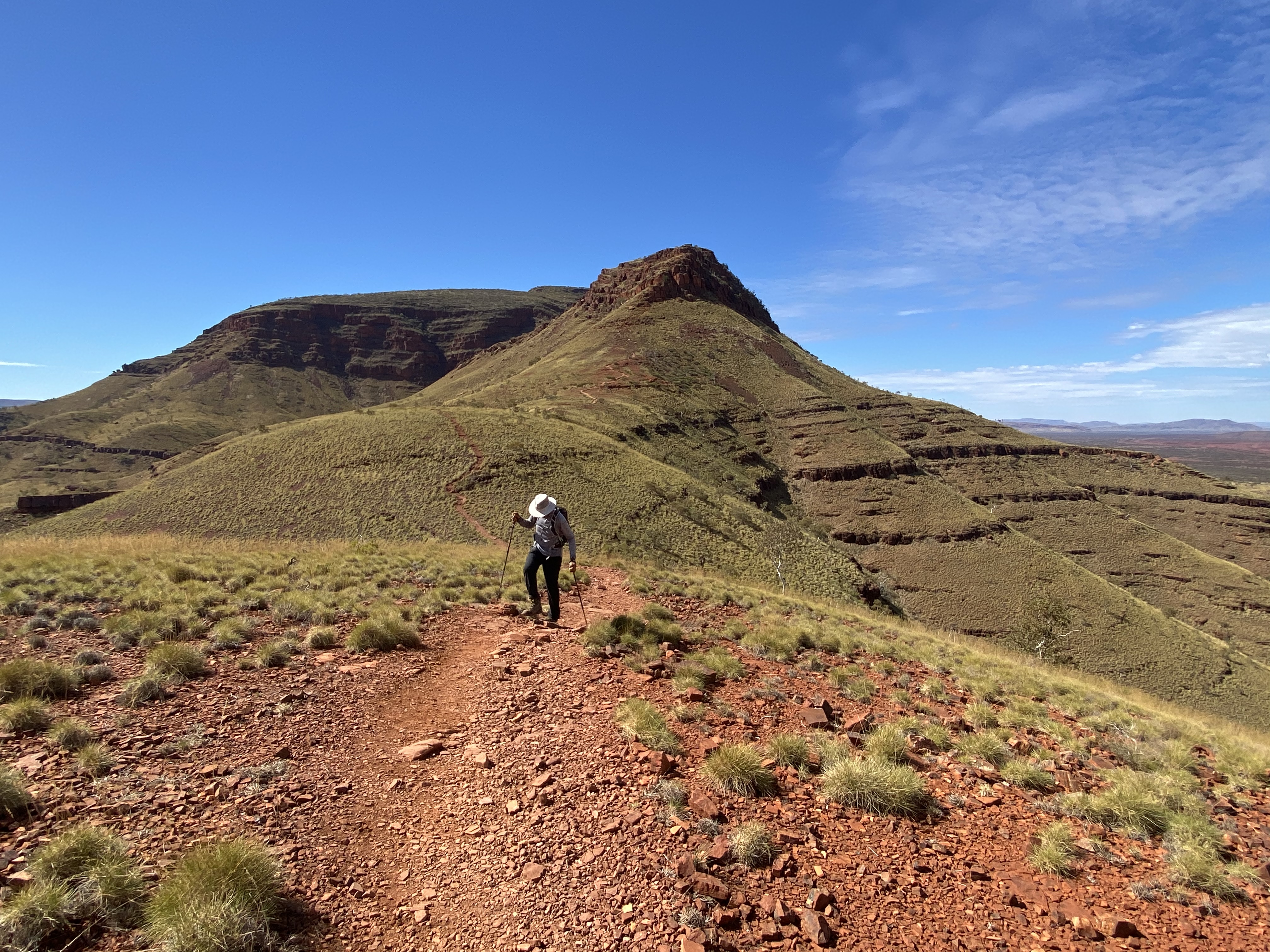
Continuing along the trail another couple of kilometres is the second part of the trail called the Honey Hakea trail, class 3. The views are getting pretty good. There requires a short scramble over some rocks and then nice walking along the ridge so life is good so far. Once you get to the sign that the trail changes to a hardcore class 5 from then onwards, you can choose to return back to the carpark.


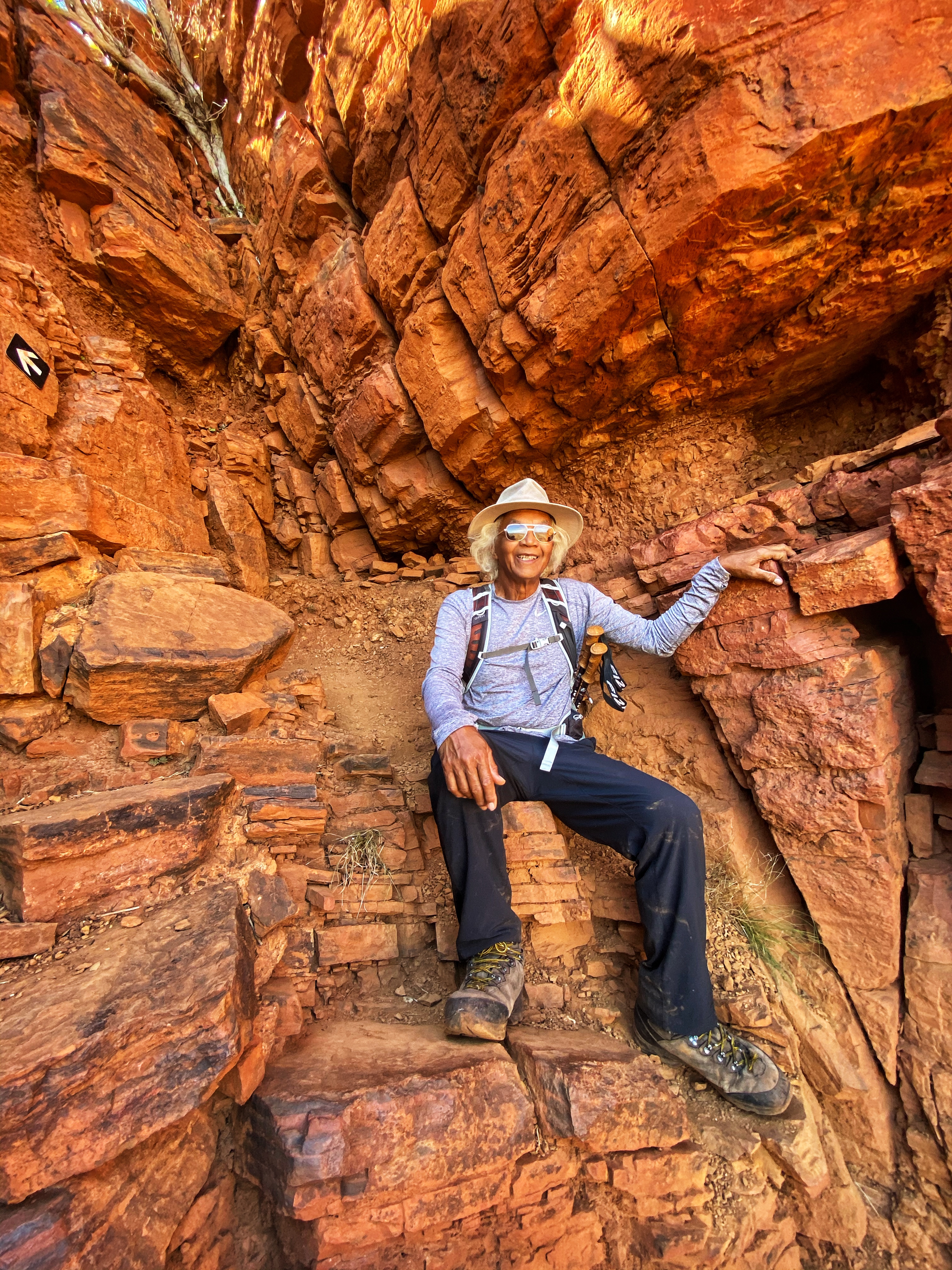
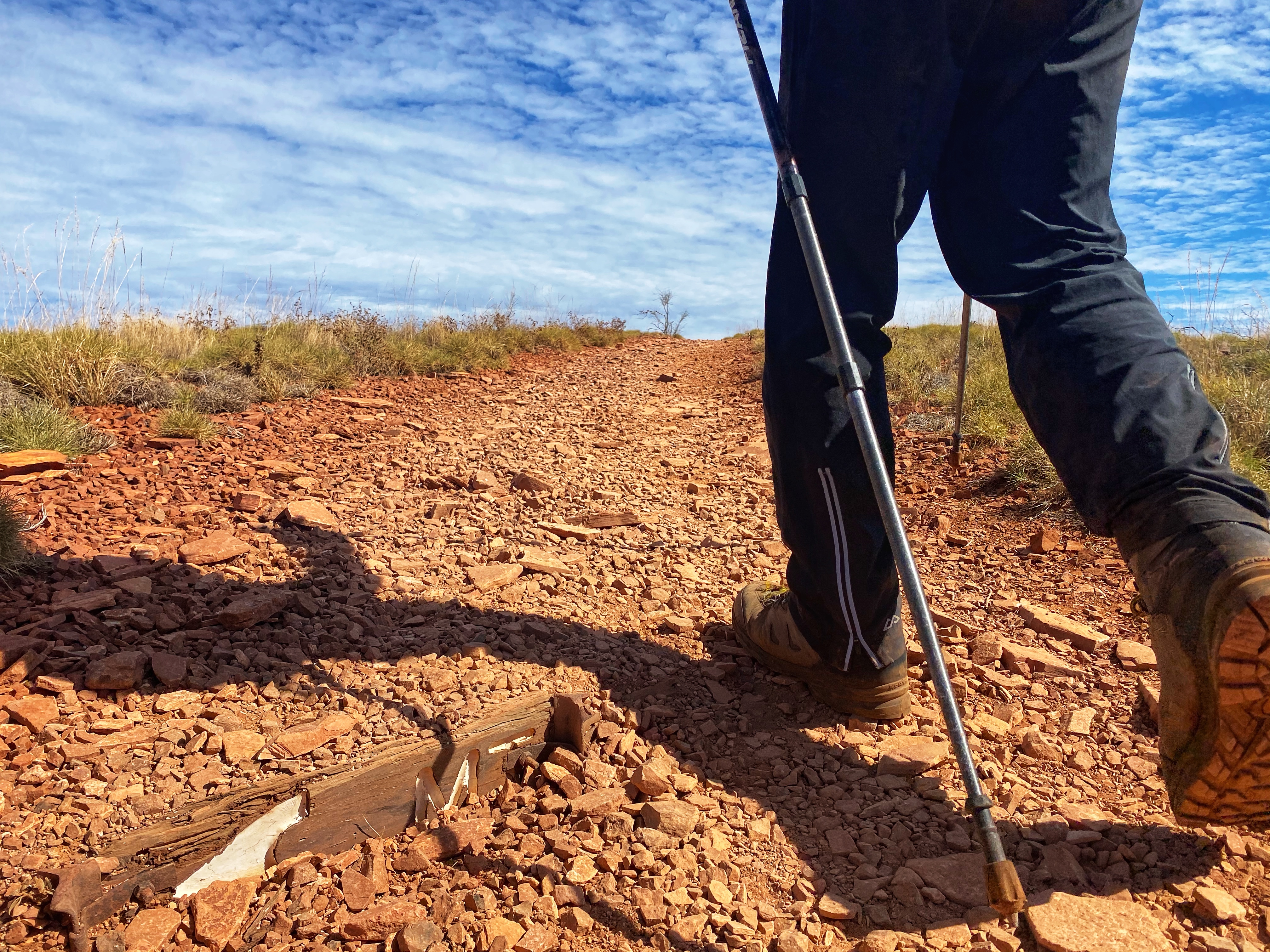
But we continue along the 3rd part of the trail now to the summit. The hardest section right in front of us, a short steep rocky zigzag up the next rocky incline part which is nowhere near the summit. Basically having to use hands to grip rocks and heave oneself upwards. Got the heart racing up to a large gigantic stone with a chain rail to move safely around the narrow ledge overlooking a sheer drop off. Not done with us yet was rock climbing up that narrow stone face with the drop off behind us. Up and over the views are so worth it! We can look back to where we had come from, I love views like this!


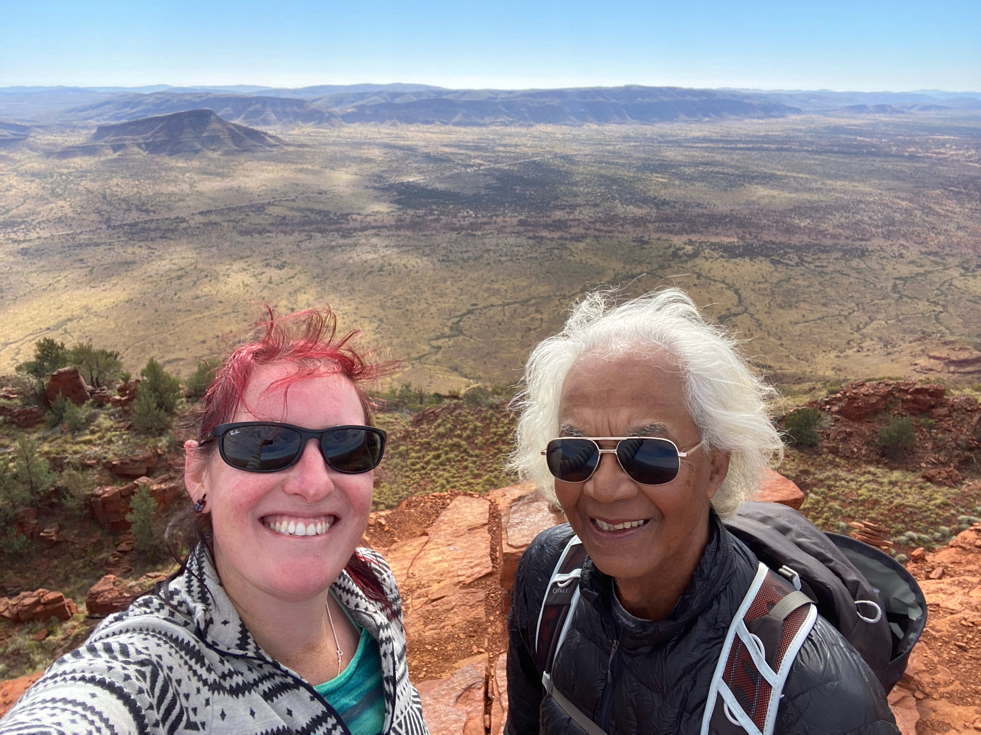
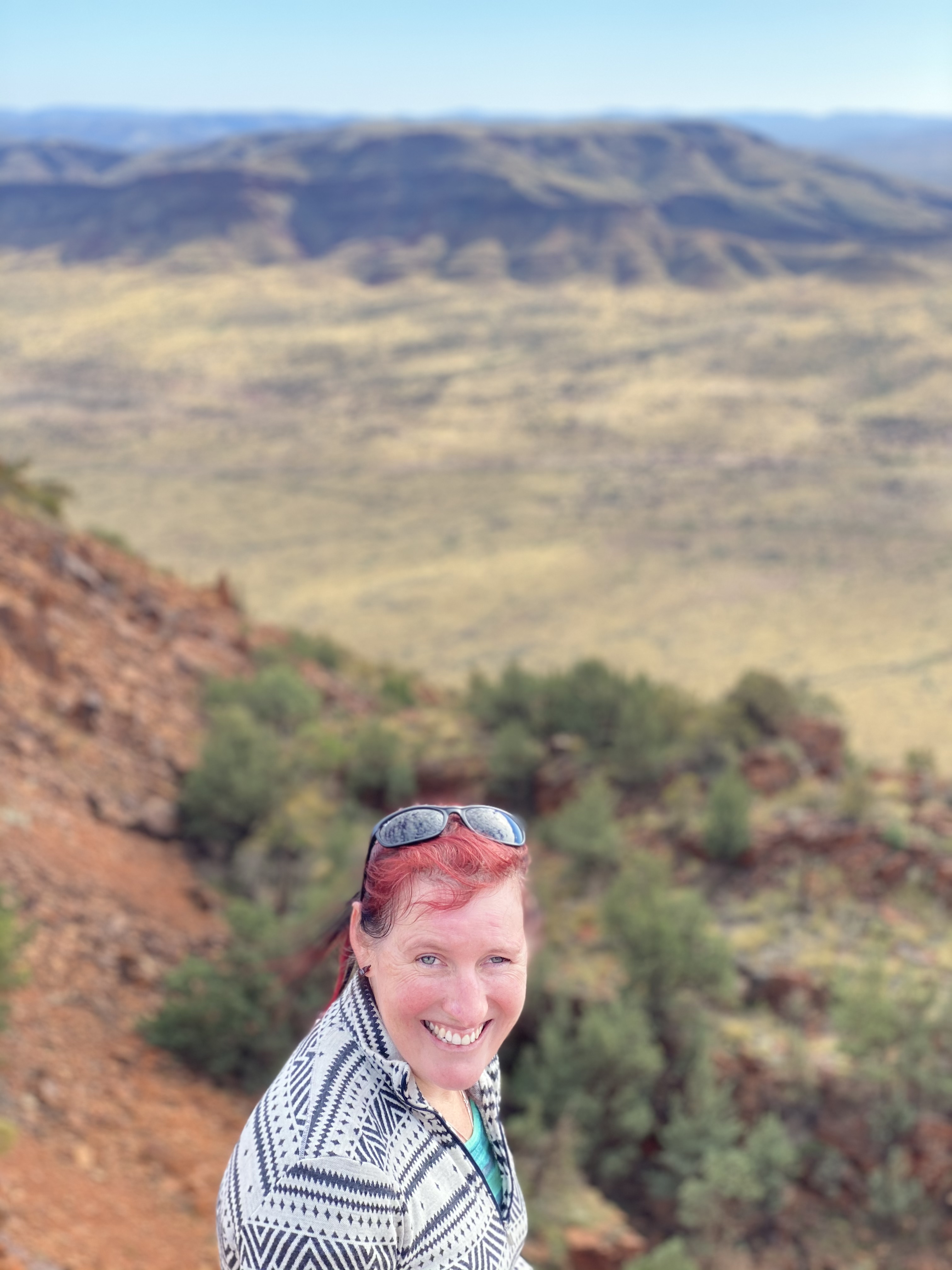
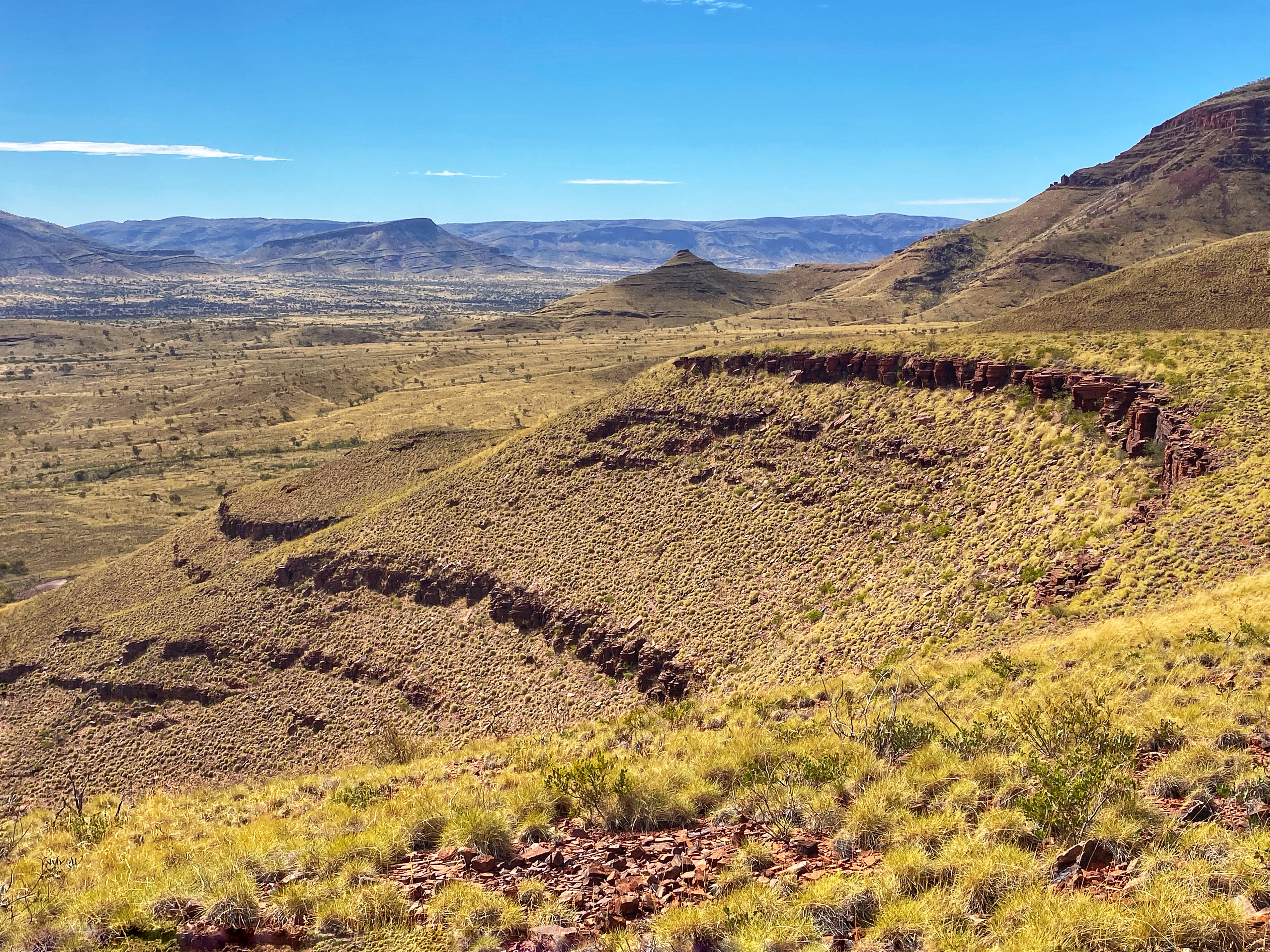
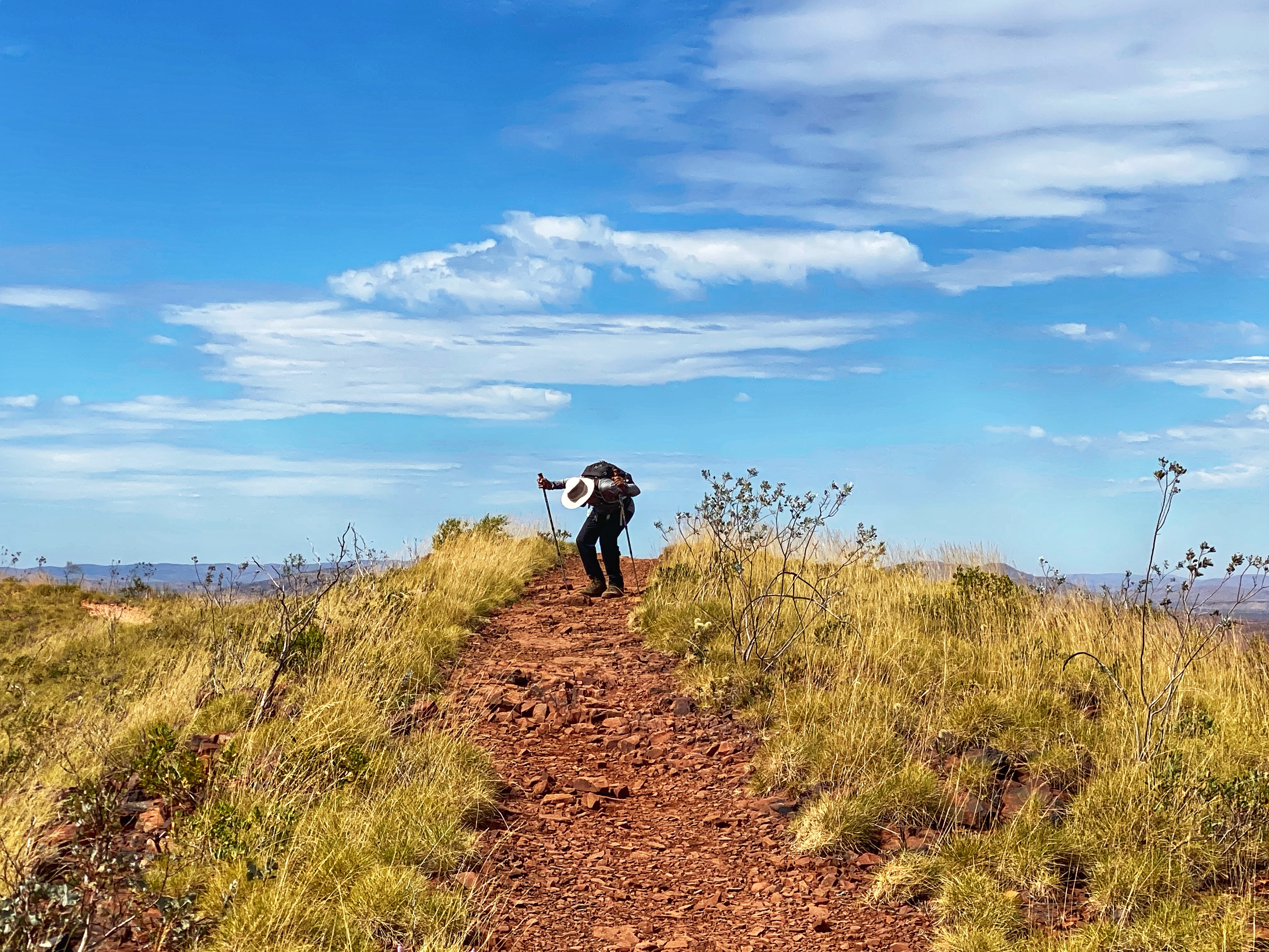
We meet the earlier climbers, a group of young people playing loud music that not everyone wants to hear, but hey, they are enjoying themselves. They say to us ‘not much further! Another 20 minutes and you will be there!’ Well maybe 20 minutes if you’re running up and don’t run out of steam, the summit was deceptive and we were nowhere near it yet. Onwards over nicer walking trail not involving rock climbing we went. The views are unbeatable going up as much as at the summit. There was some more rock hopping but not as bad before we entered the final assault, the never ending zigzagging track up, up & up. By this time we were both exhausted with the climb and slowing down. The summit couldn’t be much further! More heaving tired bodies up over large rocks, tripping over loose pebbles and finally! Victory! The summit creeps up suddenly into view. There is the large rock cairn marking the highest point and a metal disc marker showing directions for other mountains and their heights and distances. The summit overlooks out to the other mountain ranges and I had to collapse on the ground, catch my breath and just milk in those views! Yes, we had made it, such an achievement after all that effort. The day was warming up but at the summit it was chilly enough to put the jacket back on.

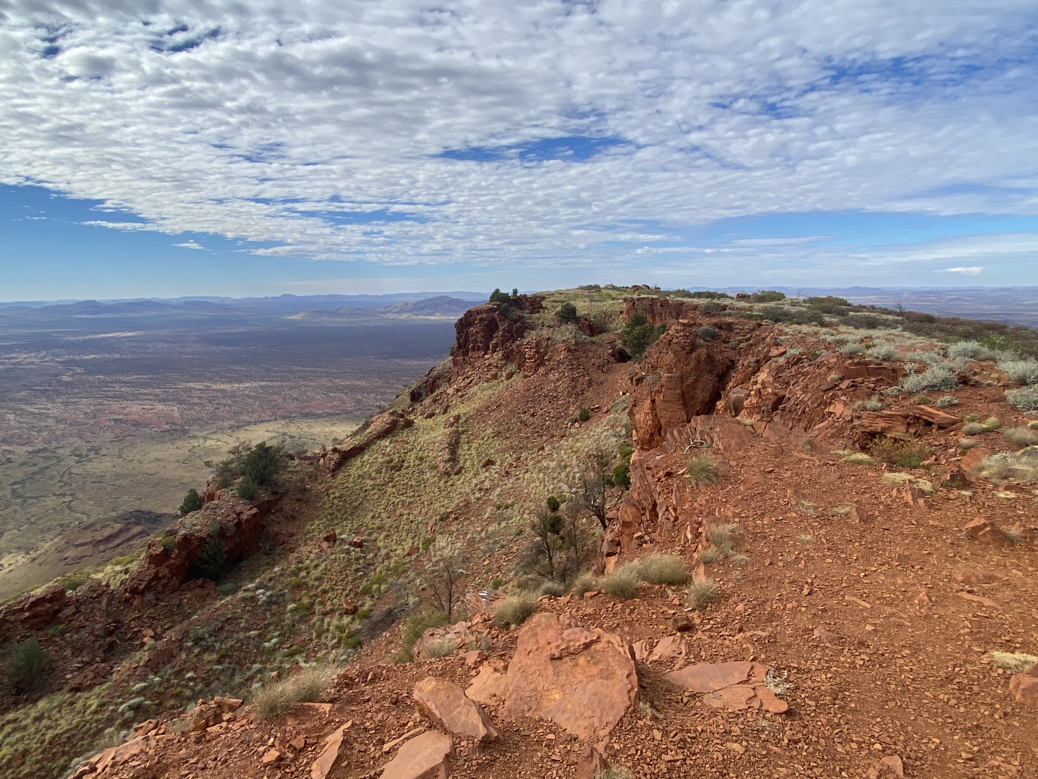
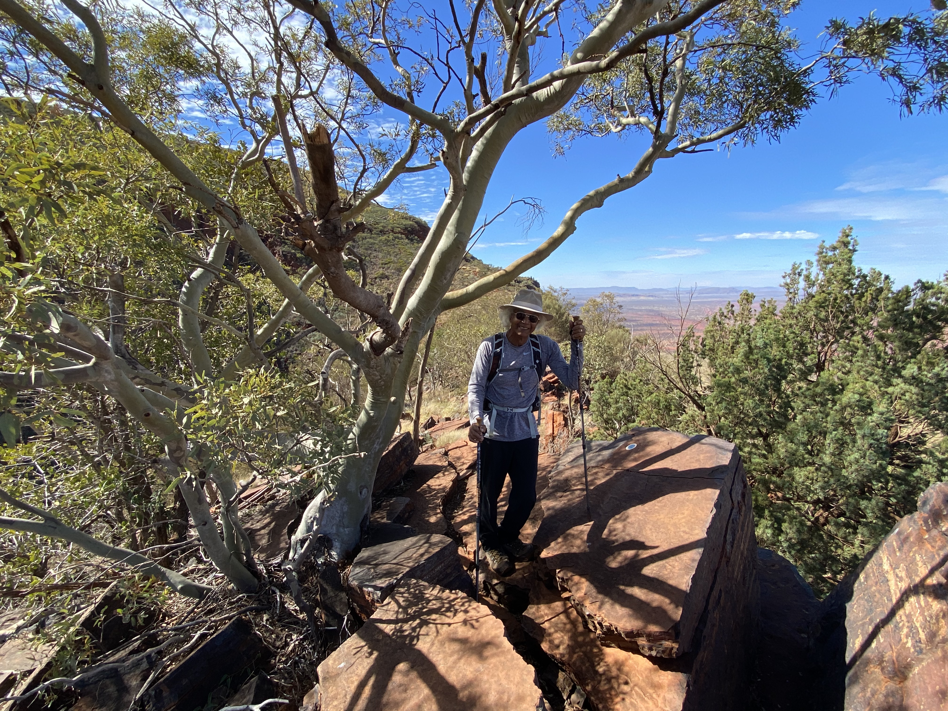
The summit has two paths going left and right to the ends to take in more views and different angles. I had worked so hard to get there so I spent a bit of time enjoying the side trails exploring what was around. Afterwards I realised what goes up must go down and we had a long way back!


It was a bit quicker returning. More people had set off late and were heading up. It was 23 degrees but felt quite warm. I was ready to get off the mountain, had packed ample water bottles which was very smart. This is a hard walk, it does get warm and people can underestimate how much water they need. The rocky scrambles down were just as tricky as going up. One wrong foot placement could see a disaster unfold. Especially the steep short downhill zigzag back to the ridge line. Very slippery so we took it nice and slowly. It was 12.30pm by the time we reached the carpark, perfect timing for lunch before heading back to town. The estimated time is 6 hours and we had been quicker then that with a long break at the top so was quite pleased with our efforts.
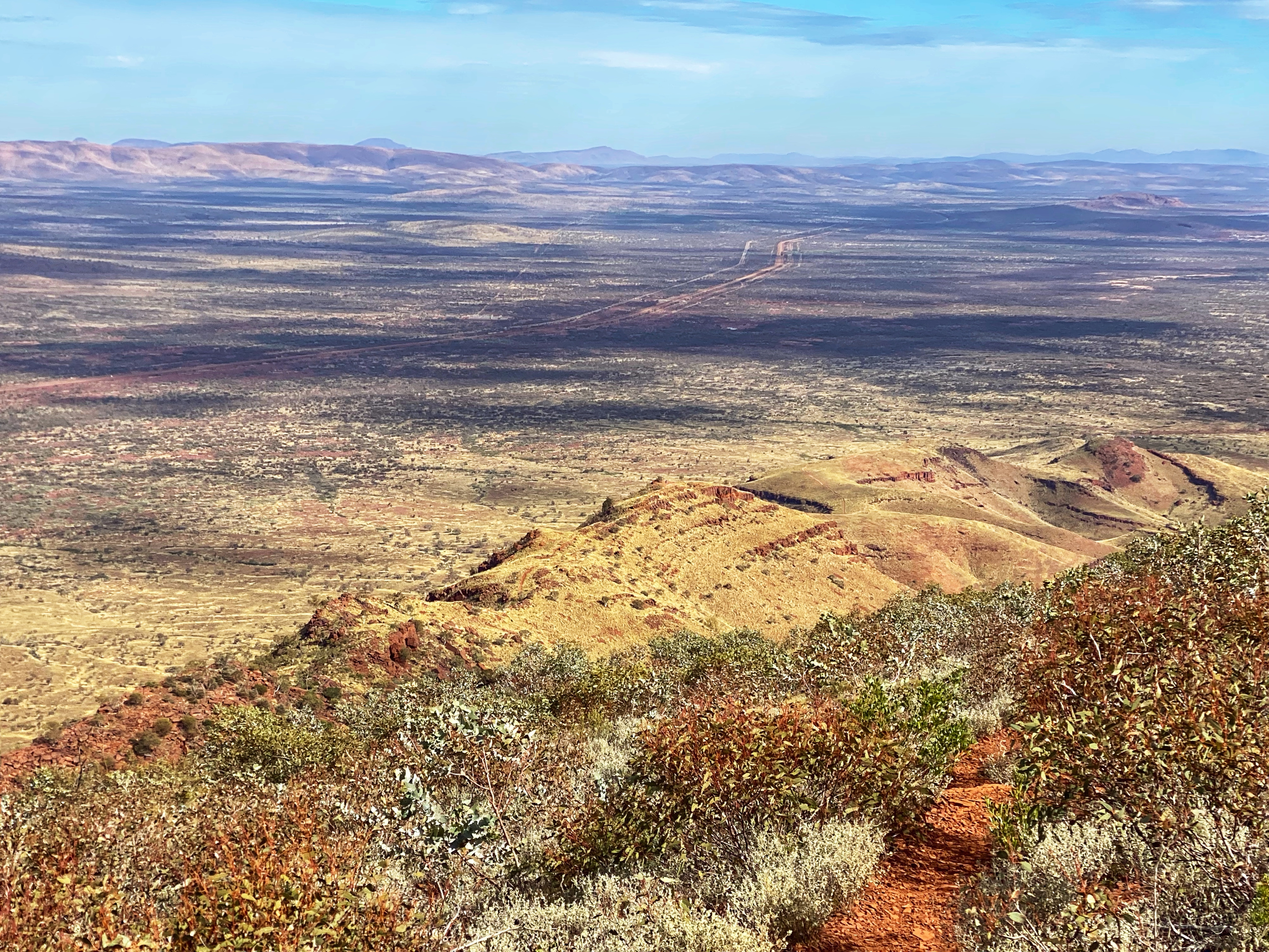


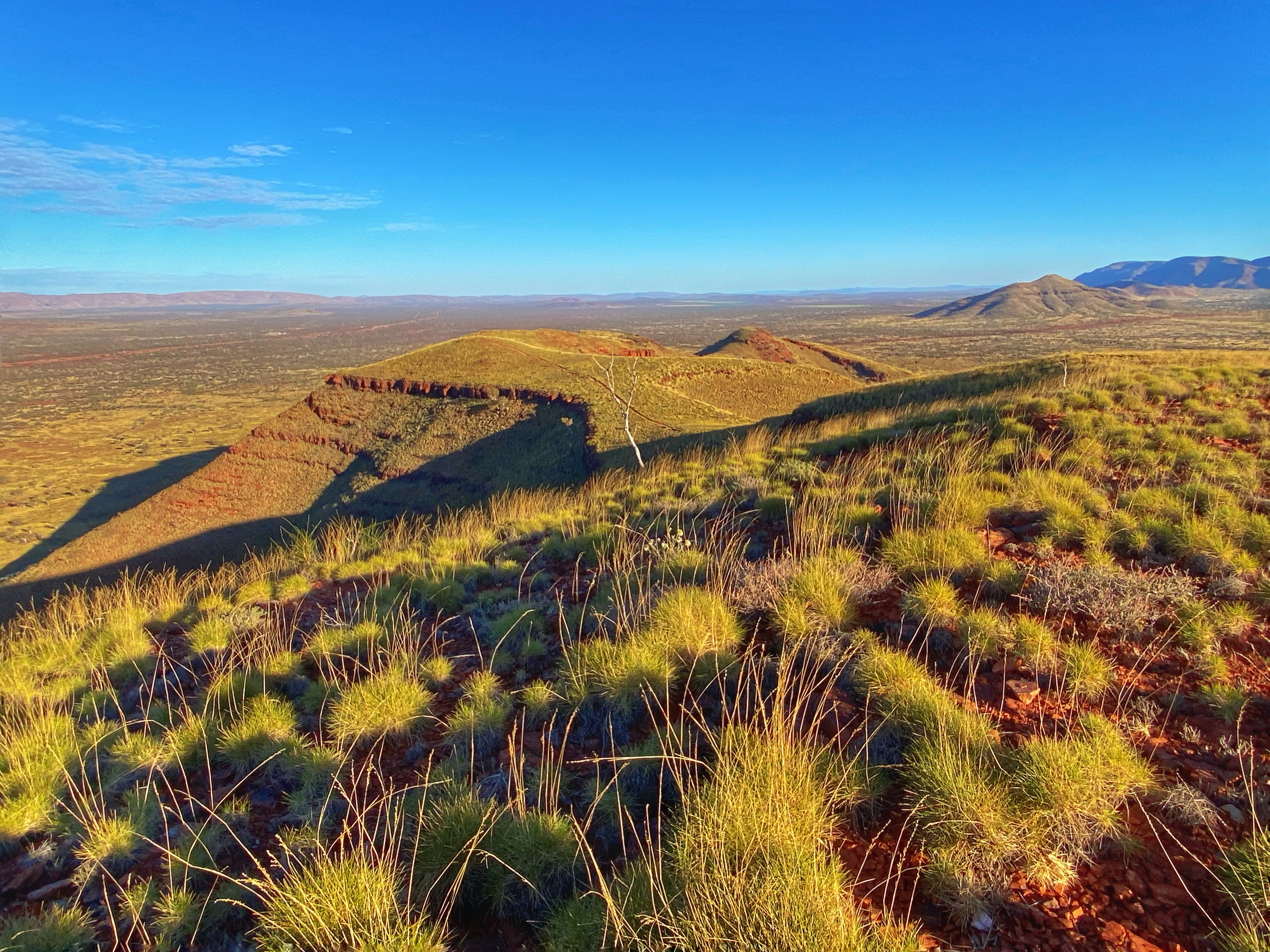
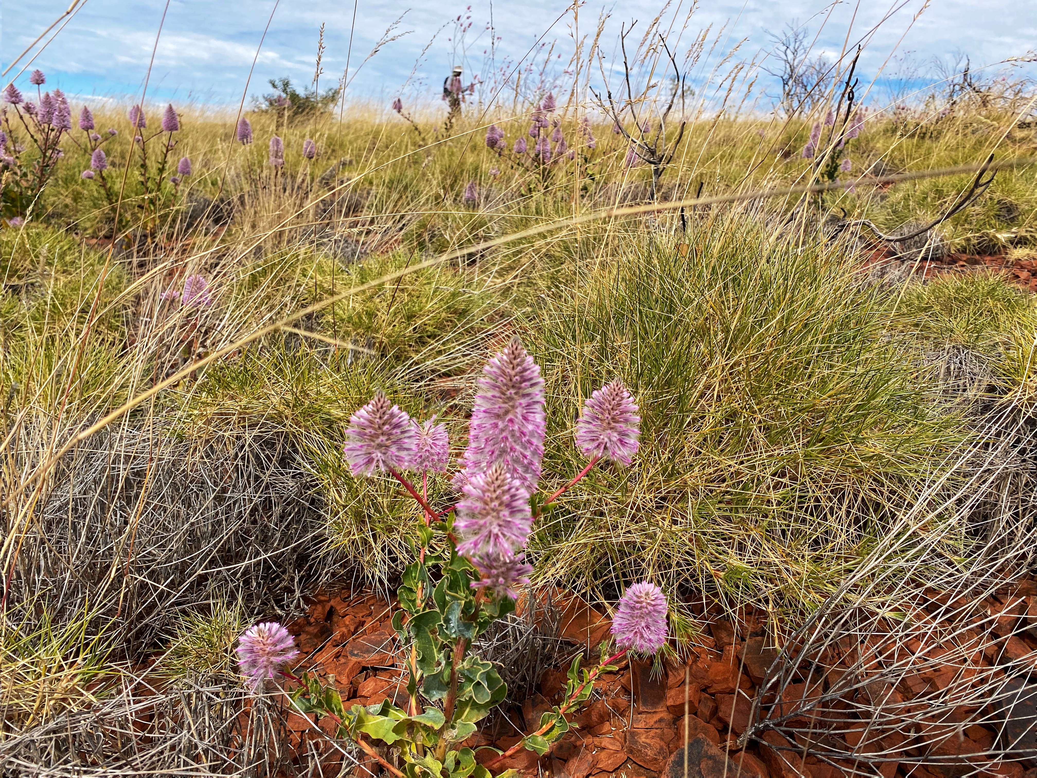
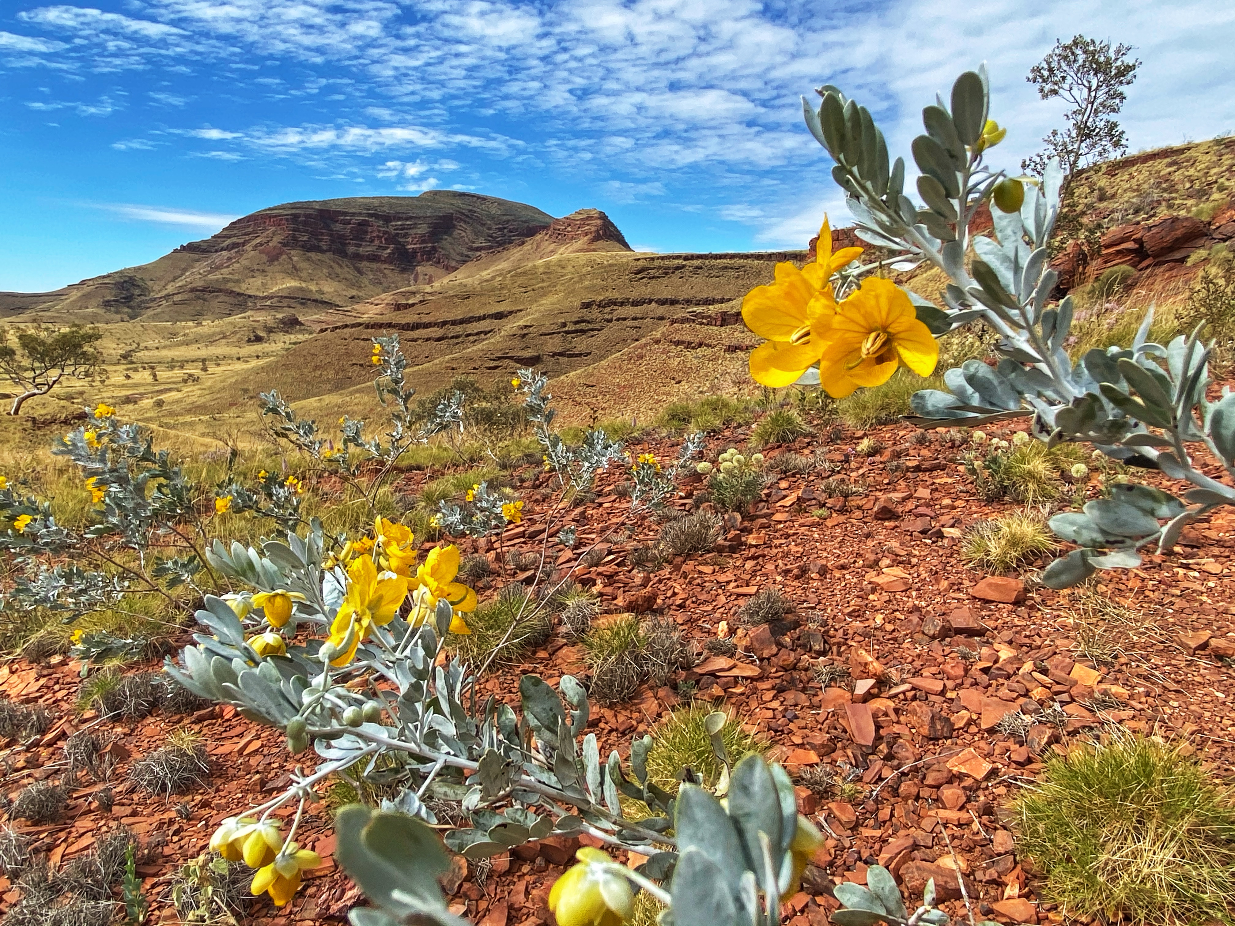
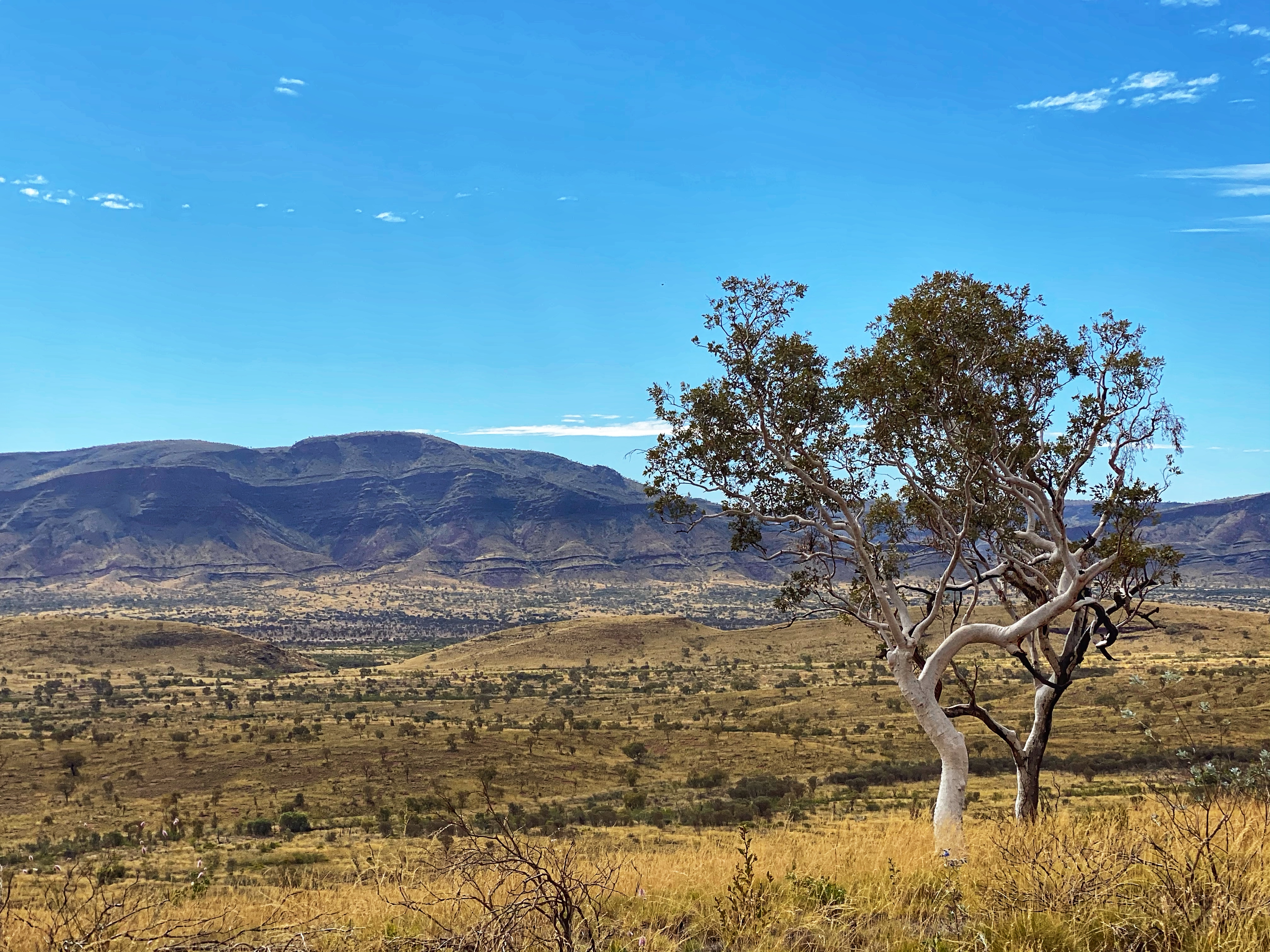
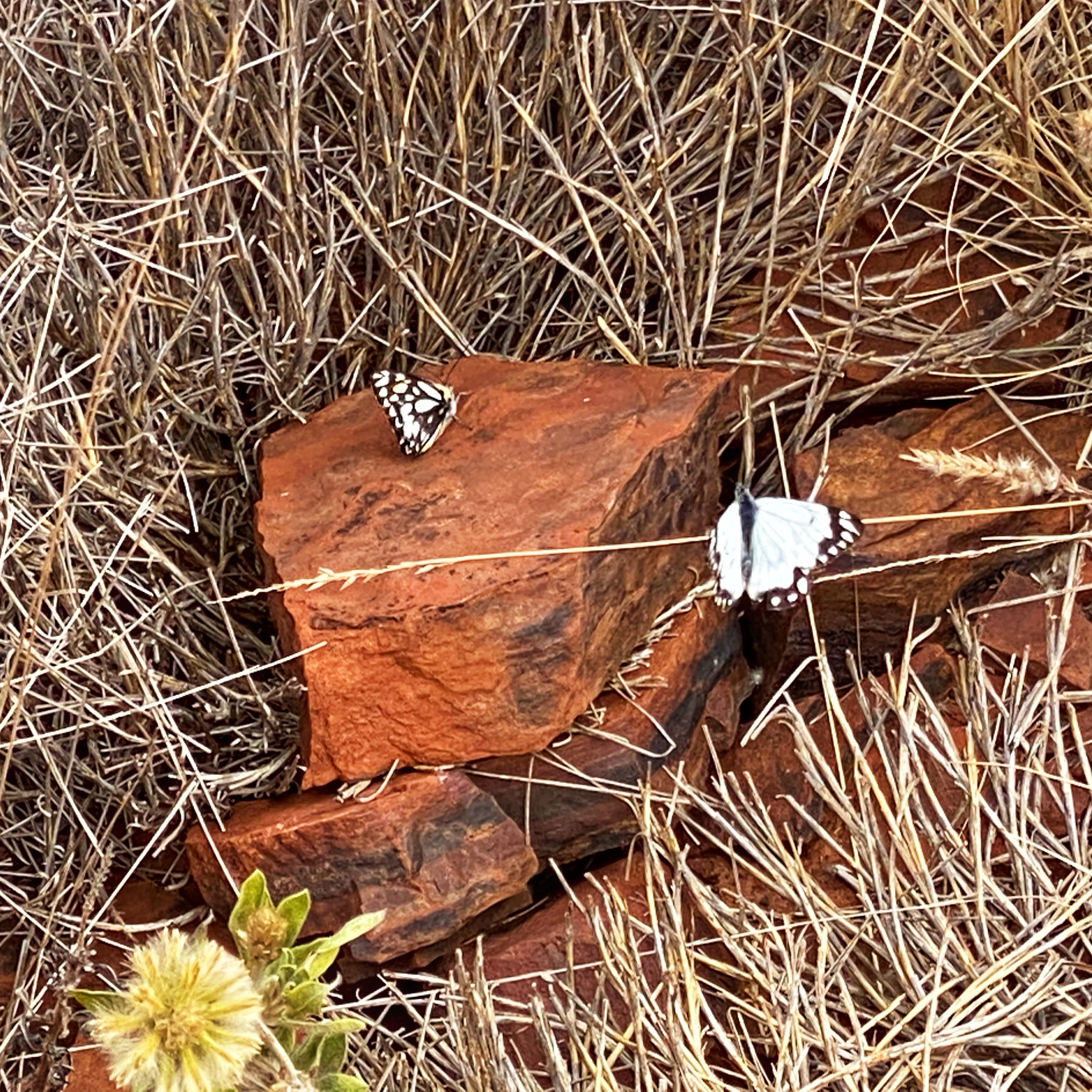
What a climb! I loved being able to see where we had come from and feeling quite impressed with oneself. The Pilbara landscape is truly awe inspiring. Photos don’t capture the raw beauty. There were beautiful wildflowers, birds, blue skies and light wispy clouds, spinifex cloaked hills, tiny lizards darting back into bushes, even watched two butterflies flirt with each other as they flitted from plant to plant. I strongly recommend a visit to Mount Bruce, even those not able to make the summit can still manage the lower trails and the views are still awesome. The mountain climb makes a lovely change from the waterfalls and gorges in the National Park. You want those views?! They won’t come easy but so worth it!


Your photos are truly stunning and what a walk you had. It must have been worth it to see those fantastic views
LikeLike