Padron to Santiago – 27kms (6.10.25)

We had to tear ourselves away from Mohammed last night as he was in a party mood. Ordered a second bottle of wine and a big platter of cheeses even though we were full. He must of stayed up to 2am. So we get back to the apartment after 10.30pm and realise we can’t get into the building. The owner hadn’t given clear instructions that there were keys in our room to take when we go out to allow us to get back in. So Karen was messaging the owner. Luckily the people in Spain stay up late and she remotely let us back in. Late night and early start with a big walk. Wasn’t our plan!


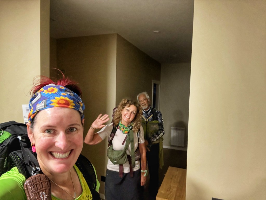
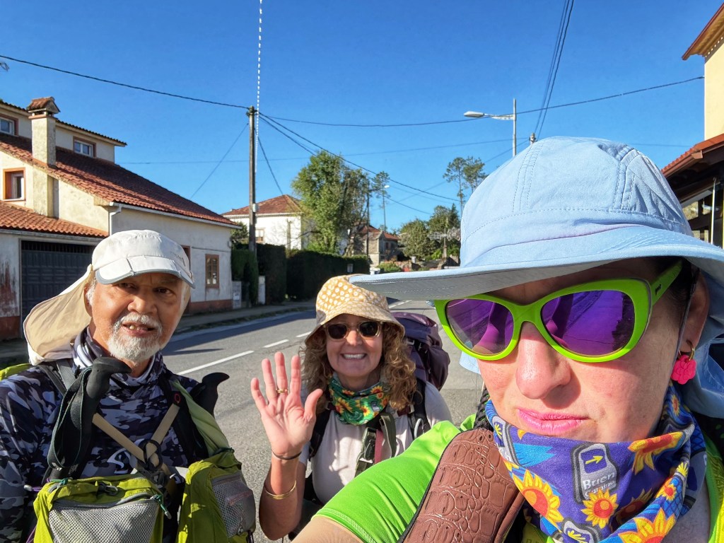
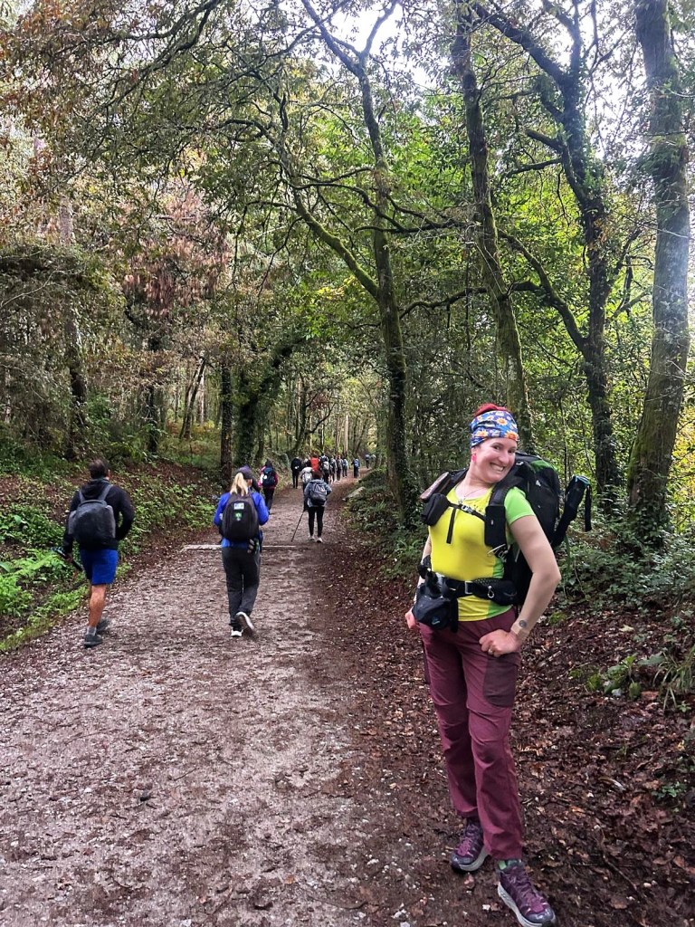
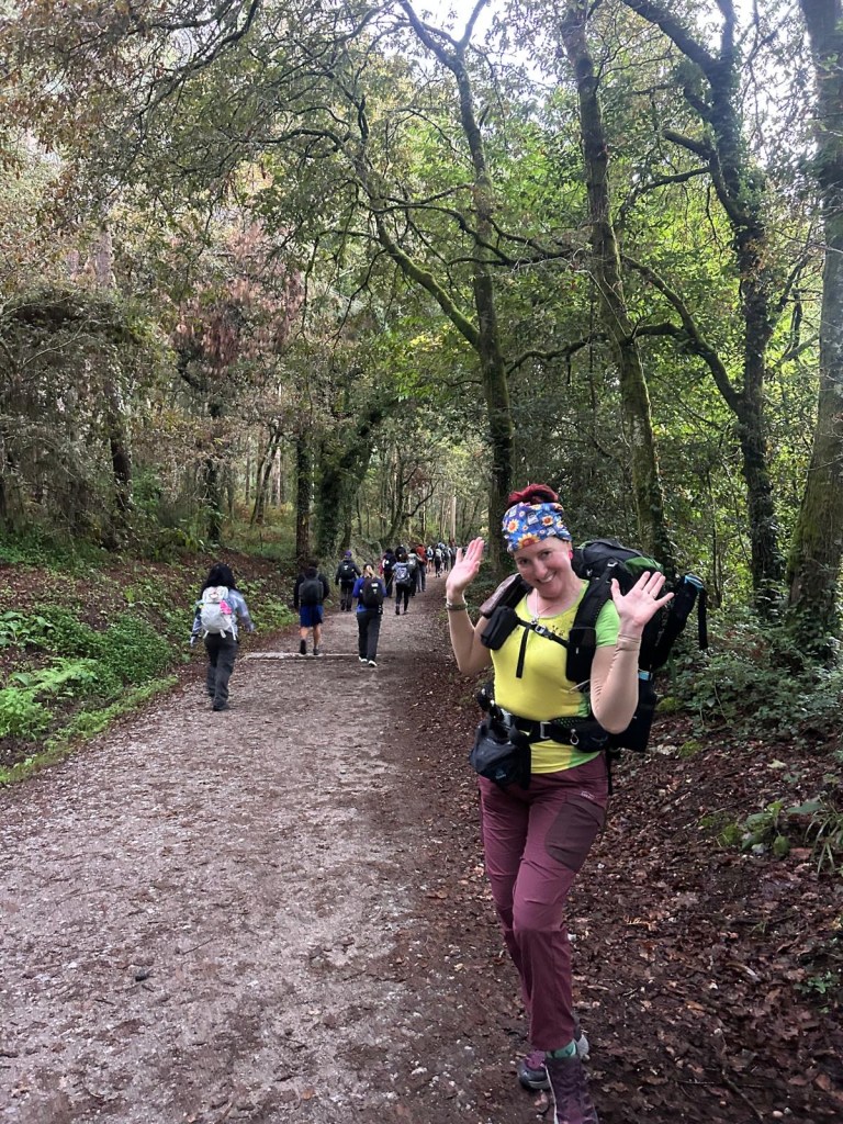
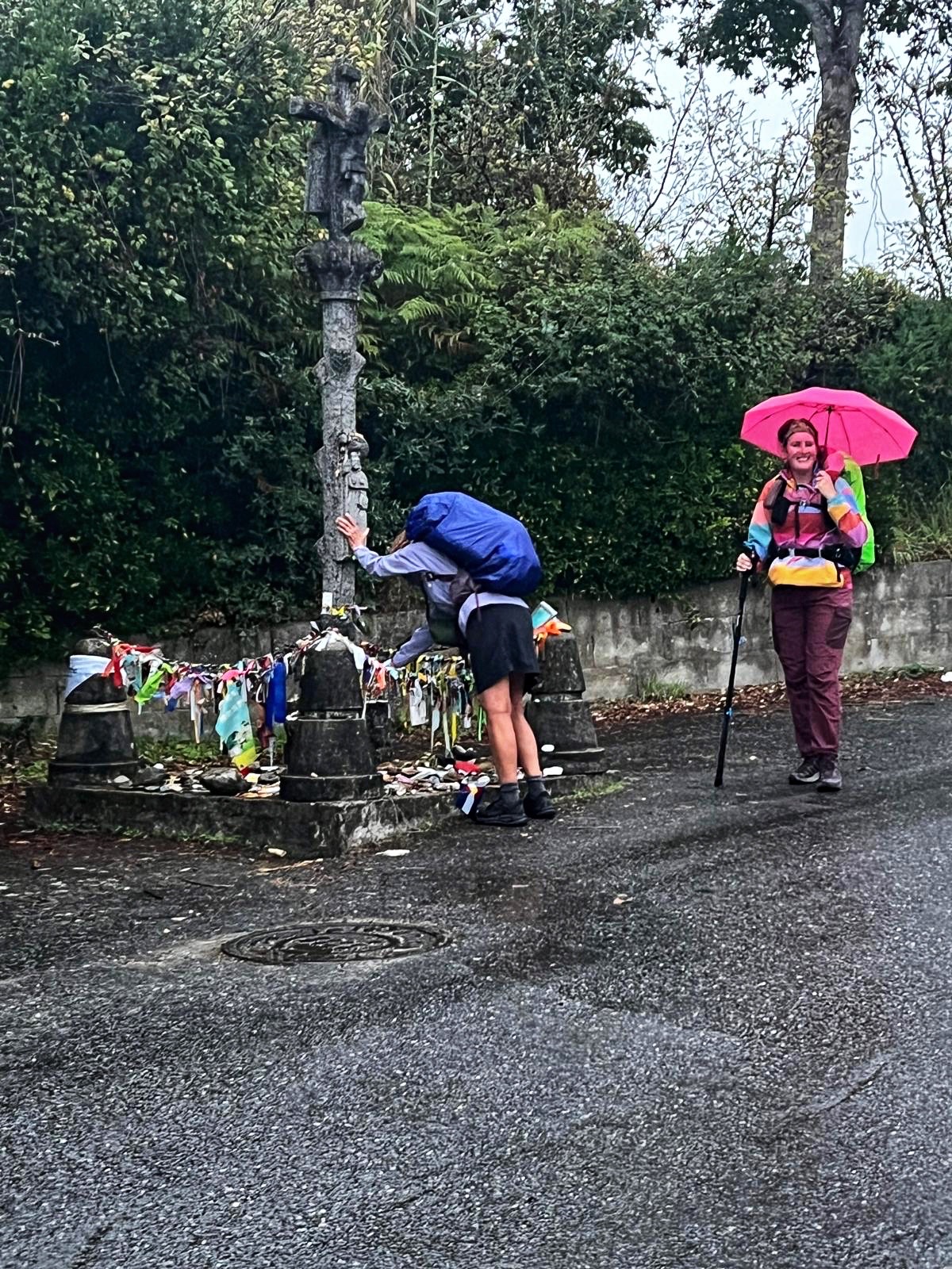
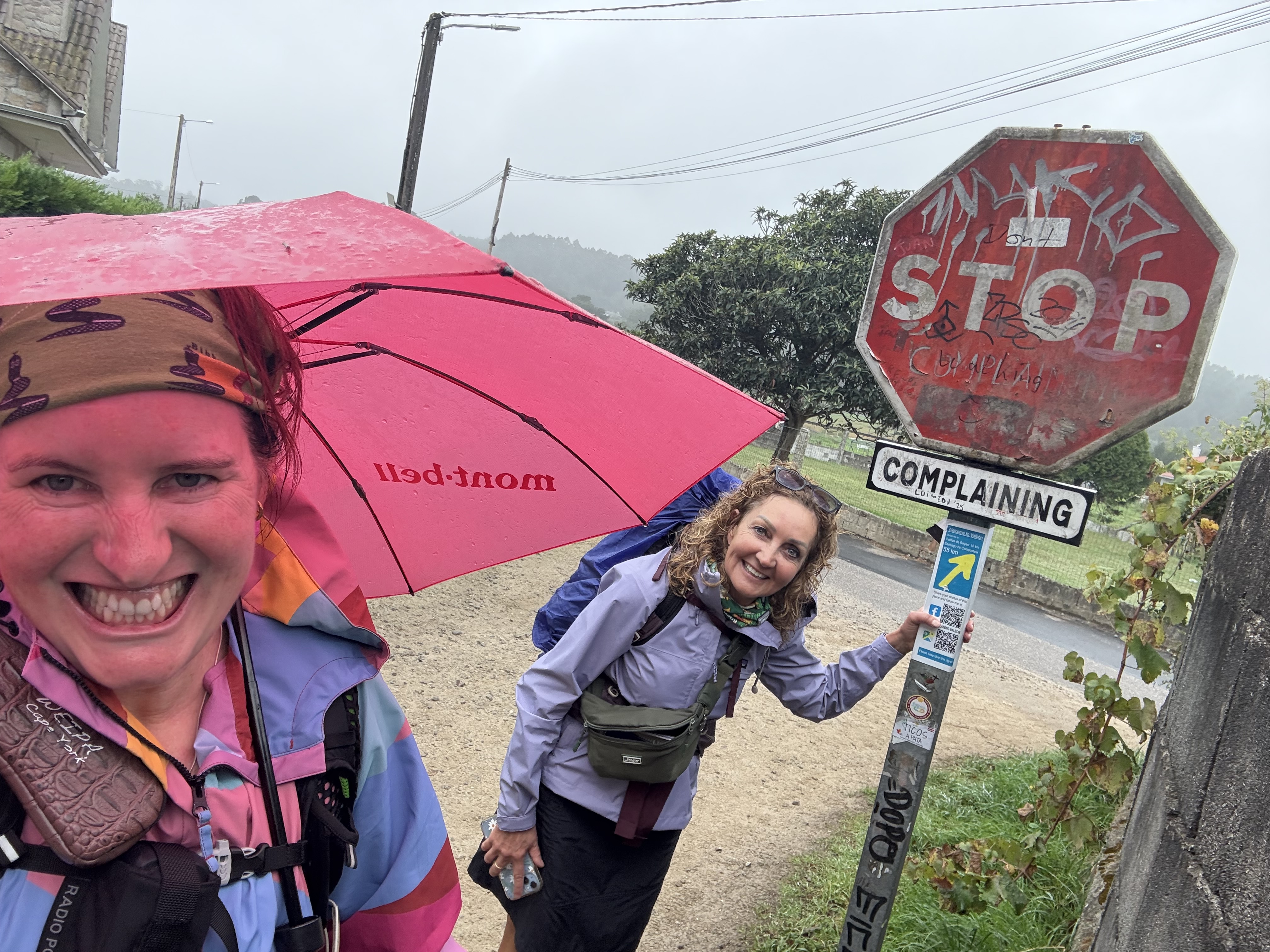
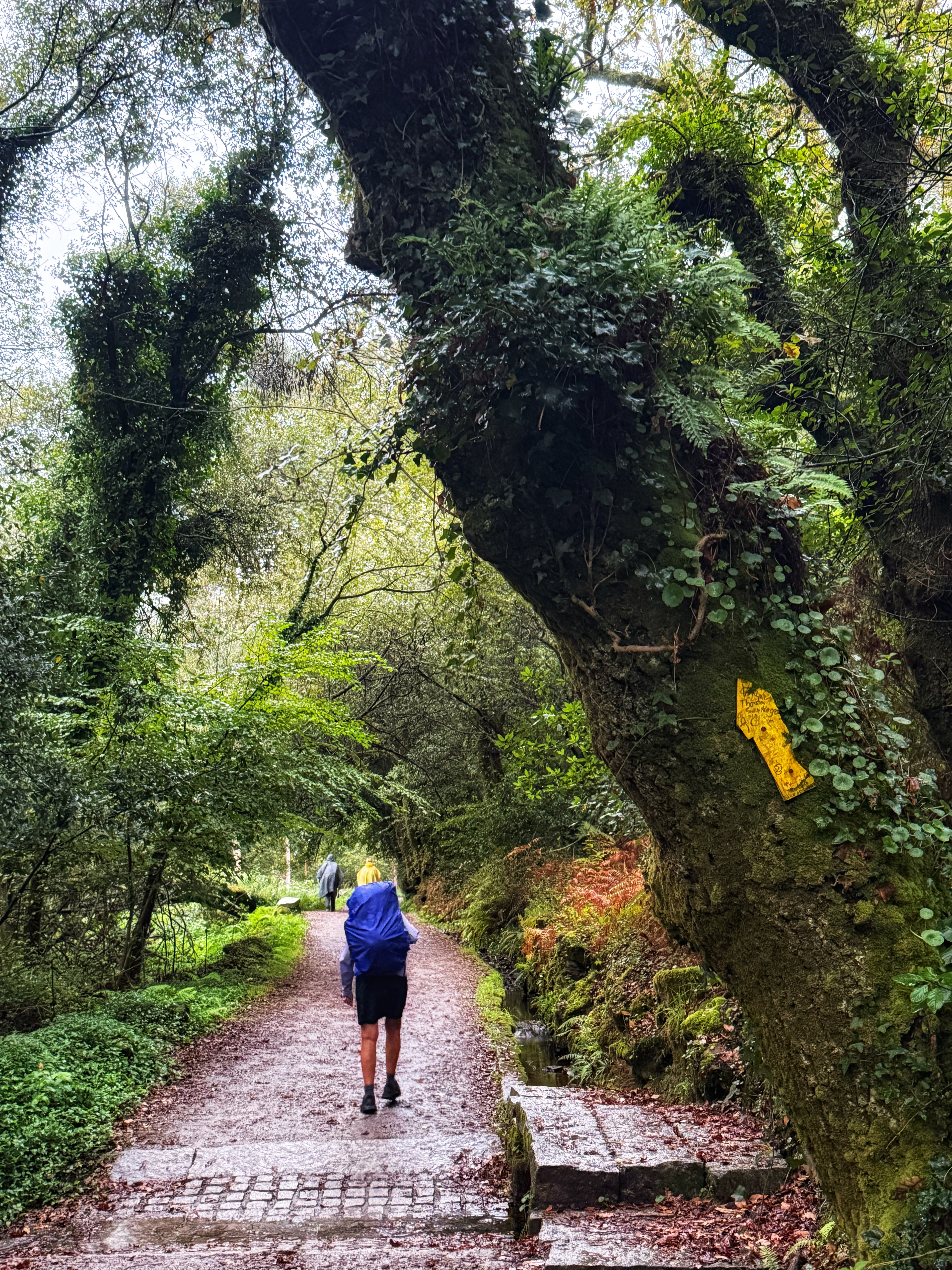
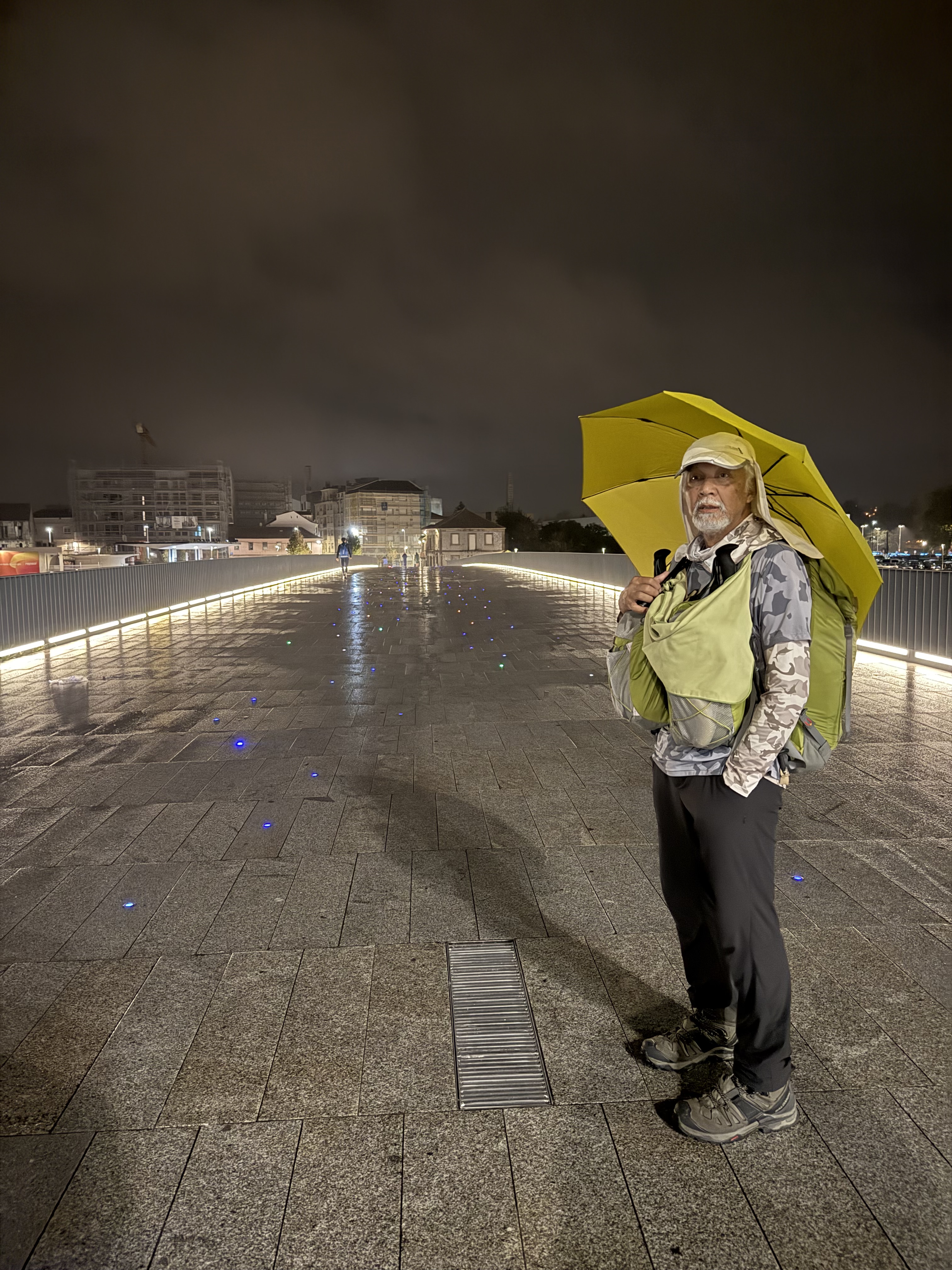
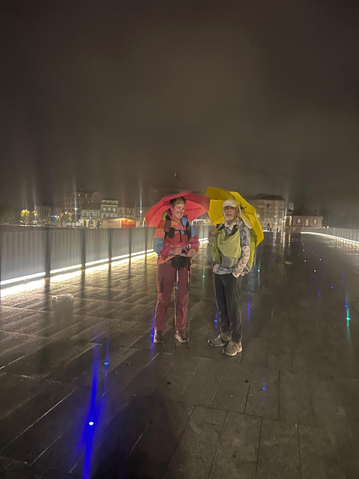
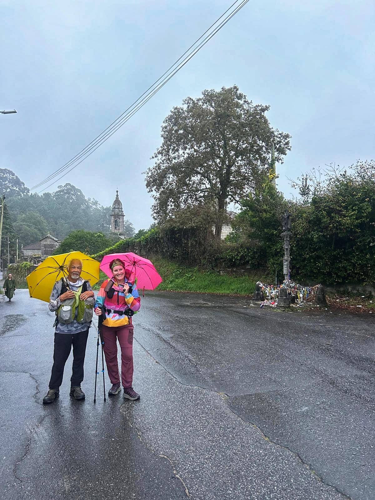
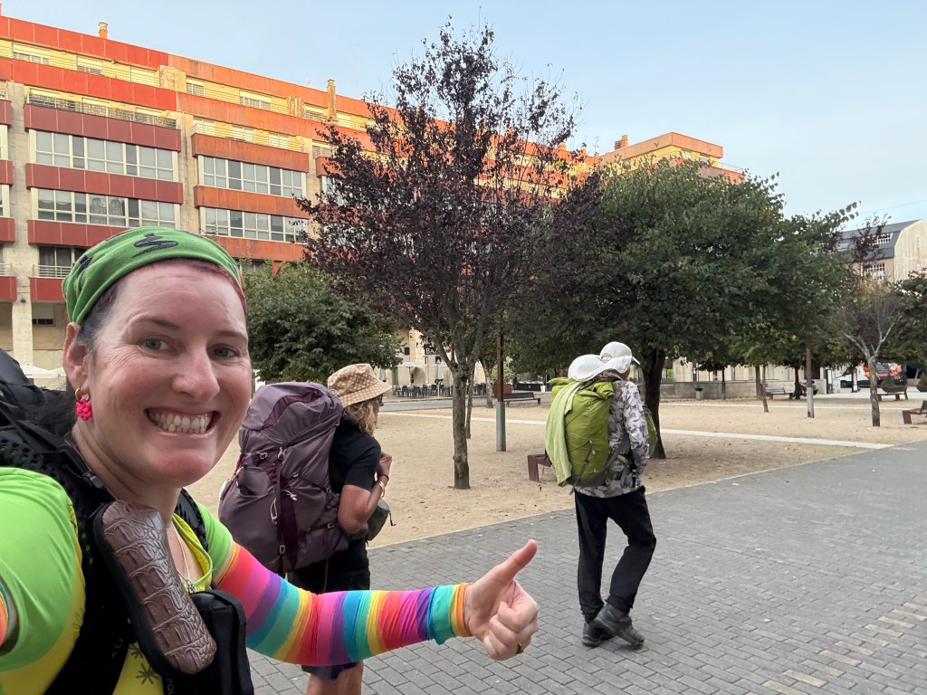
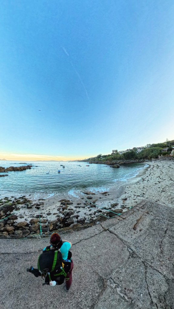
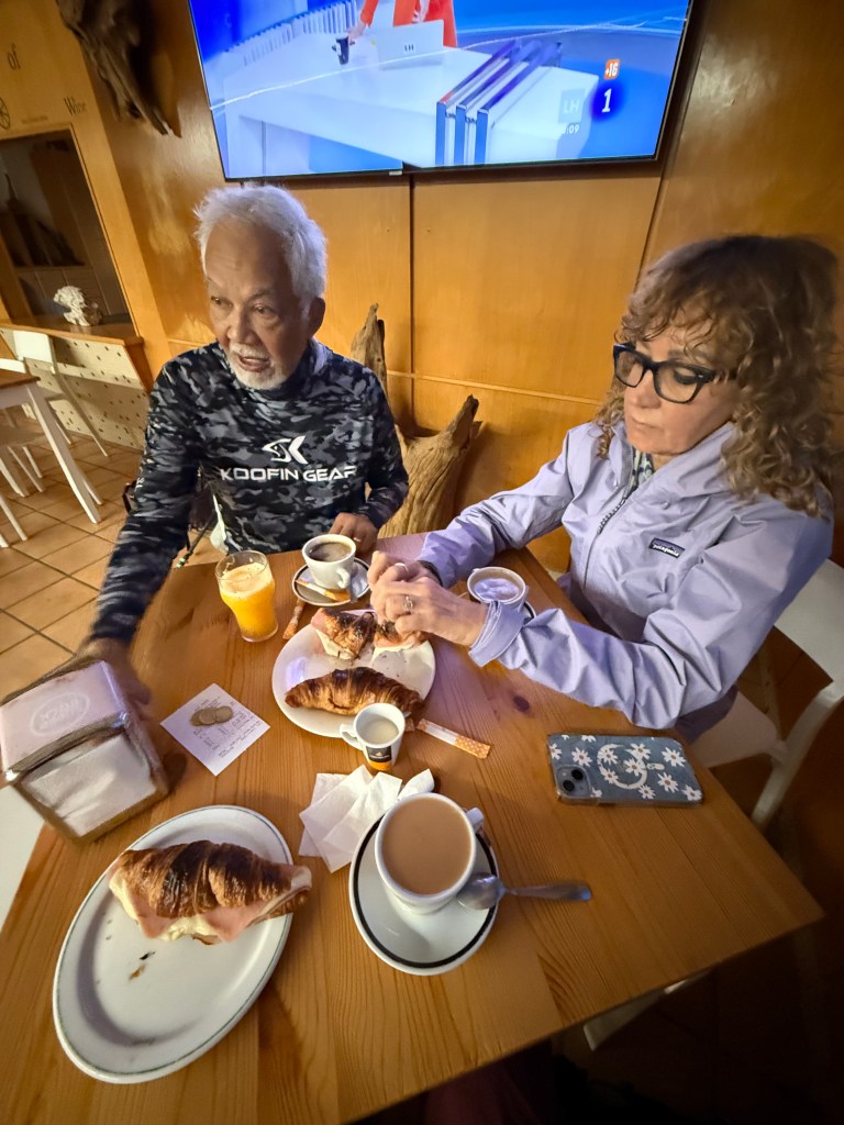
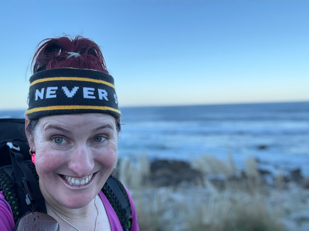
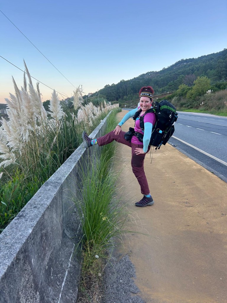
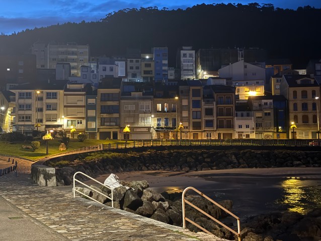
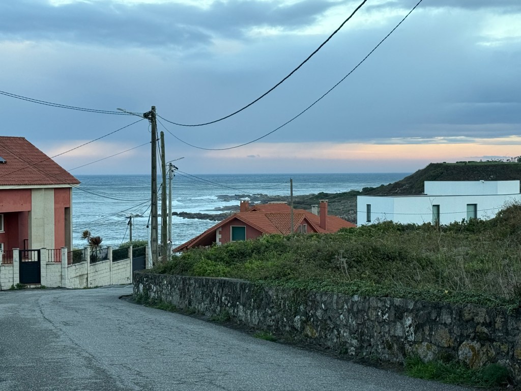
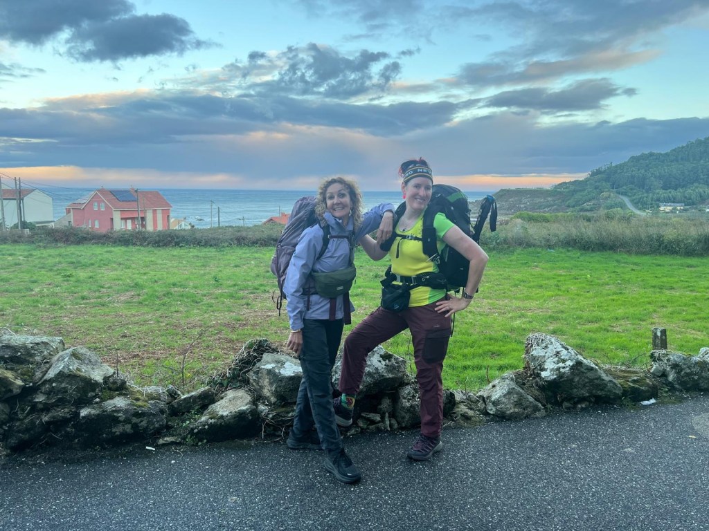
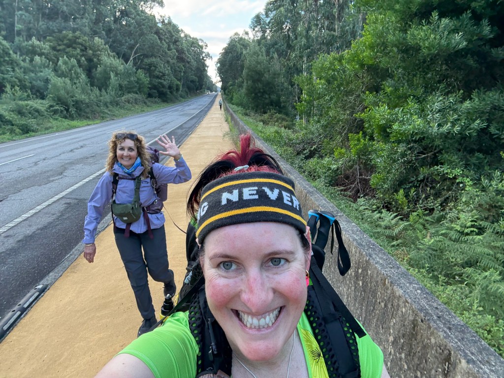
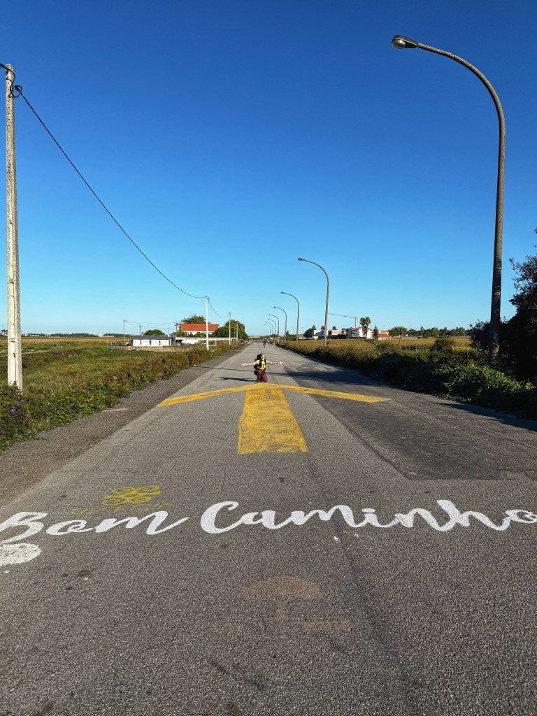
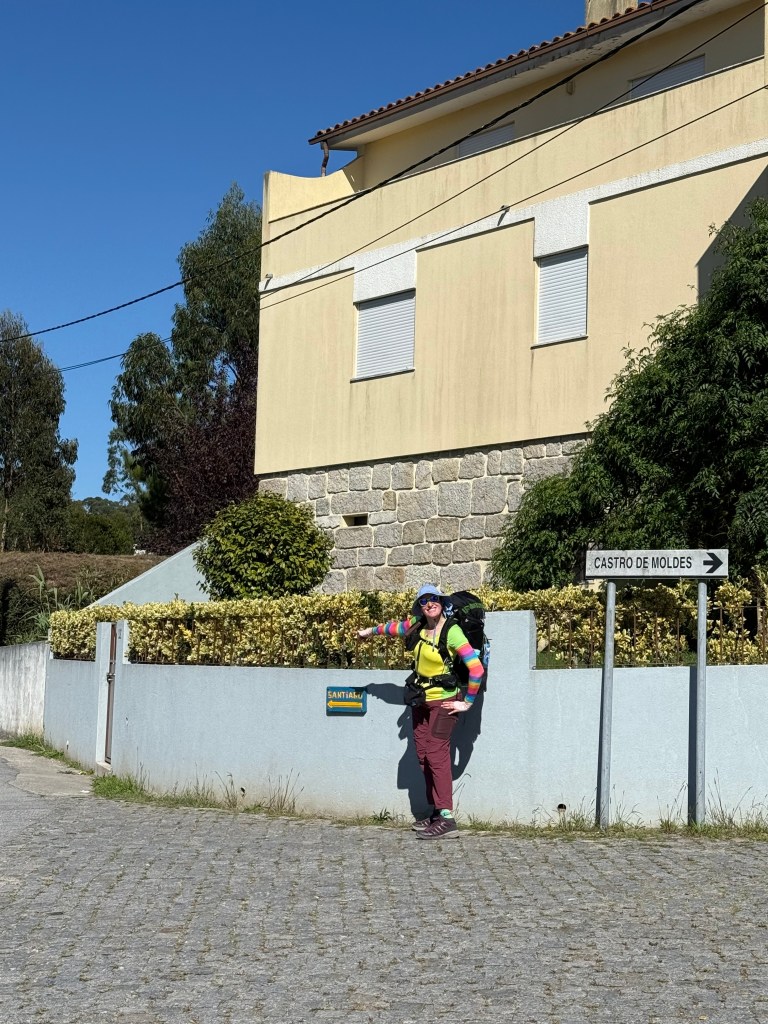
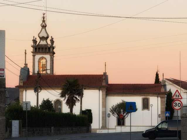
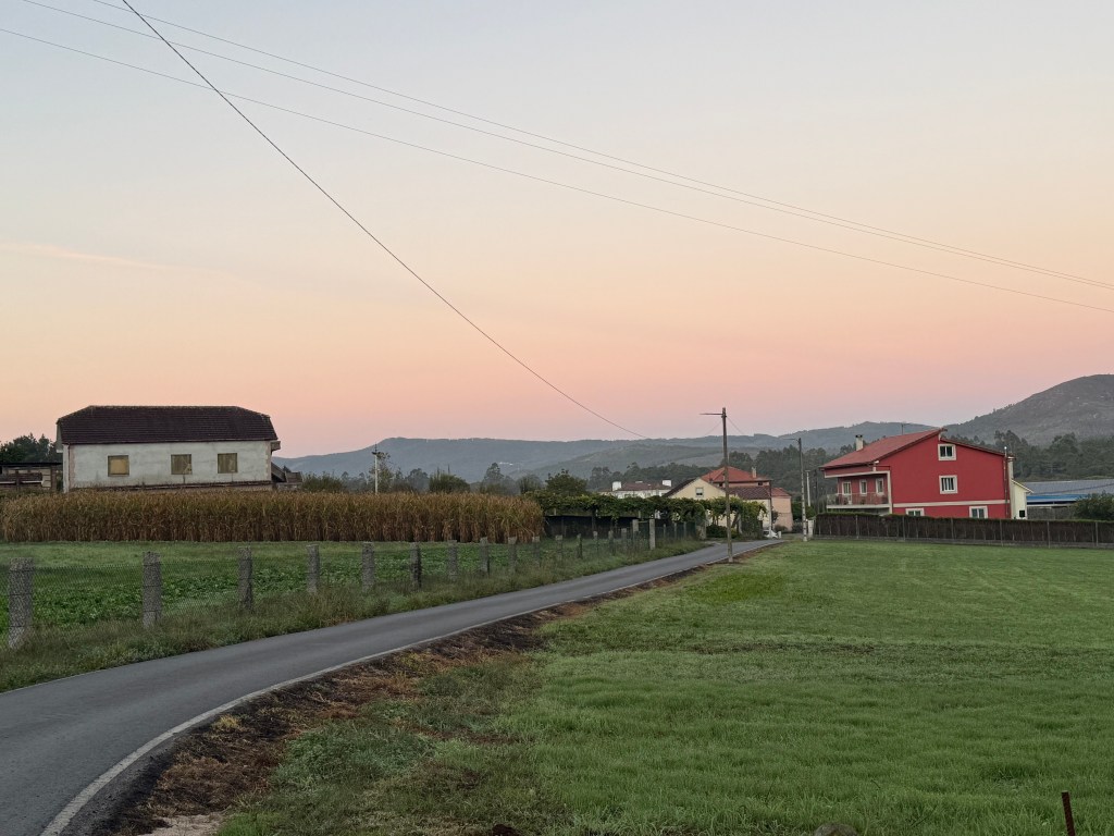
The day started at 4.30am. Karen buttered and put jam on all the baby croissants for us to have a little later on the walk. We packed and were on our way in the dark at 6am. And there was only one other pilgrim that passed us. So for the next hour and half it’s just us 3 trudging along in the dark through cobblestone lanes passing houses where the occupants were still asleep. It was cold but when the sun rose, it got more cold! We watched a beautiful sunrise and pilgrims started emerging on the track. We got a takeaway coffee that was a good pick me up. I was so sleepy!


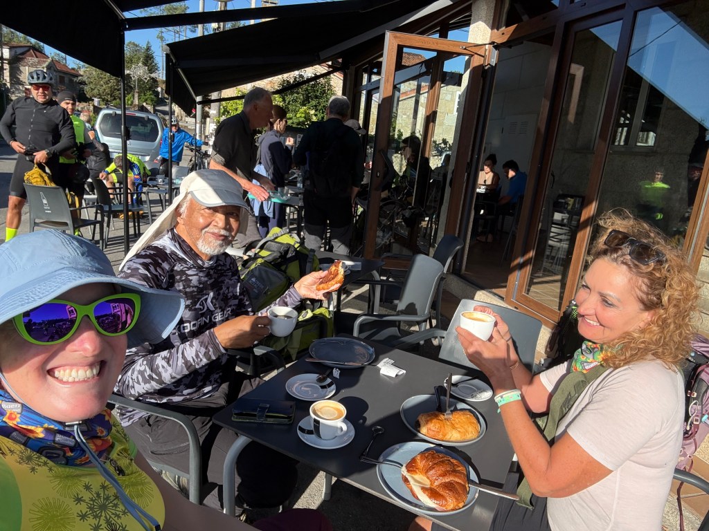
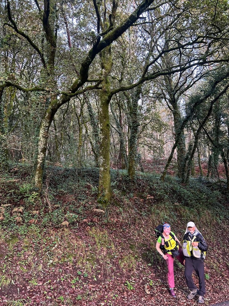
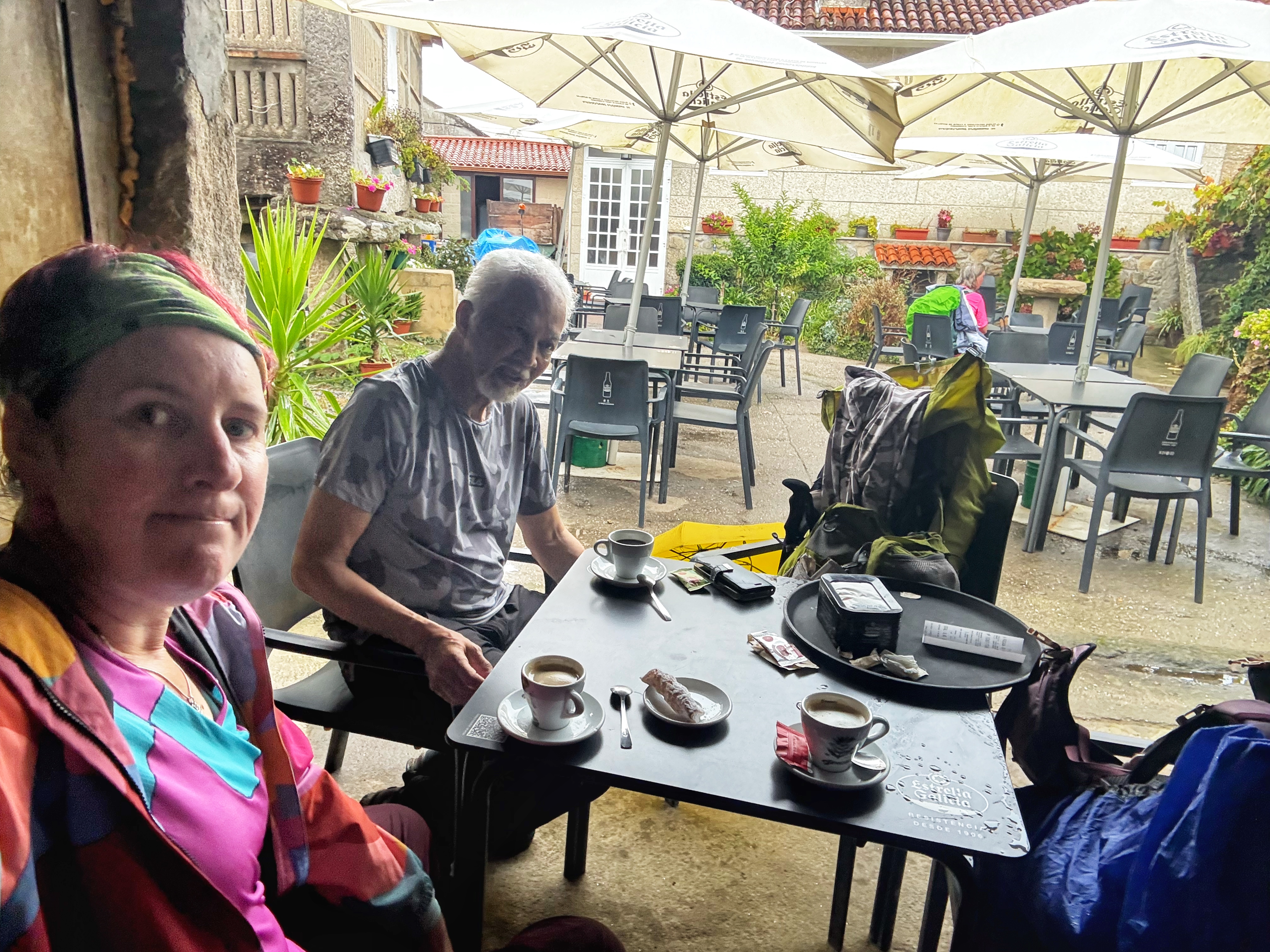
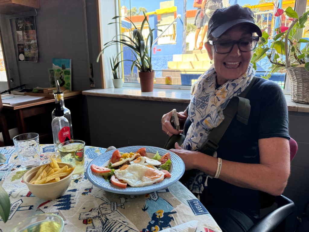
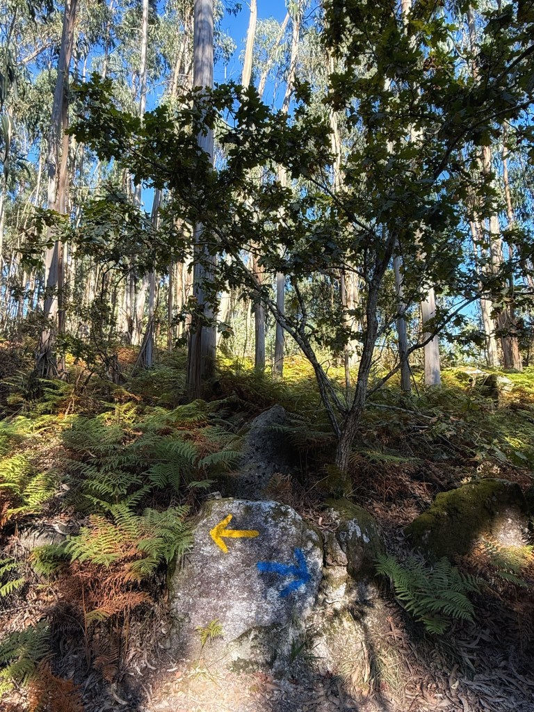
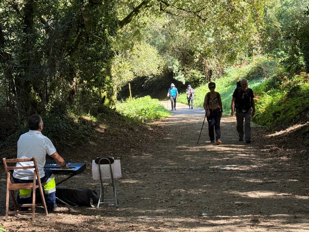
Mr D had gone ahead. We found the usual popular spot of wee breaks from the copious amount of used toilet paper on the ground in this beautiful woodlands setting. Karen was most disgusted to find someone had discarded a used tampon of all things on the ground! We are appalled by the inconsiderate, selfish and dumb ass people that think it is fine to leave rubbish all over the ground. We stopped at a nice cafe as I needed the toilet, the food from last night hadn’t agreed with me. So it was still cold, didn’t want anything but as I had used the toilet had to buy something. So we had a hot chocolate. Then plodded on as the day warmed up.


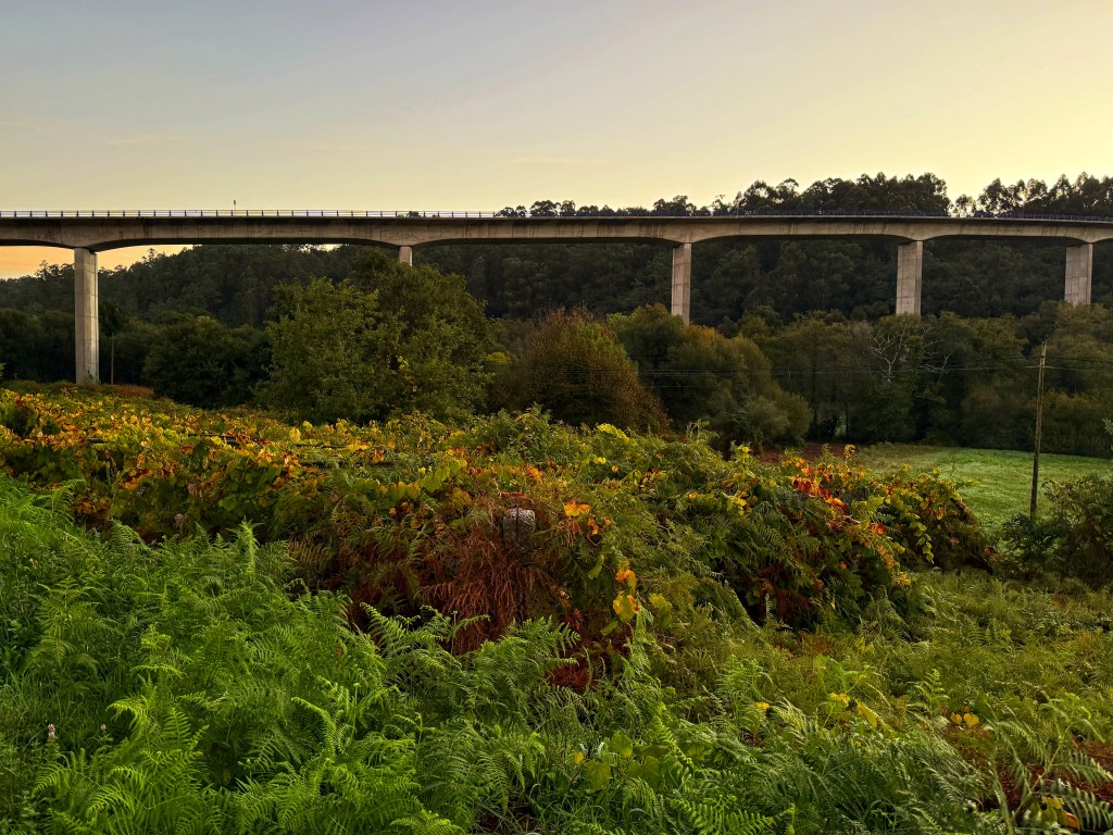
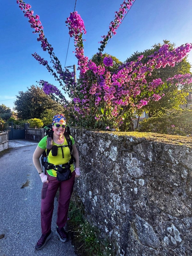
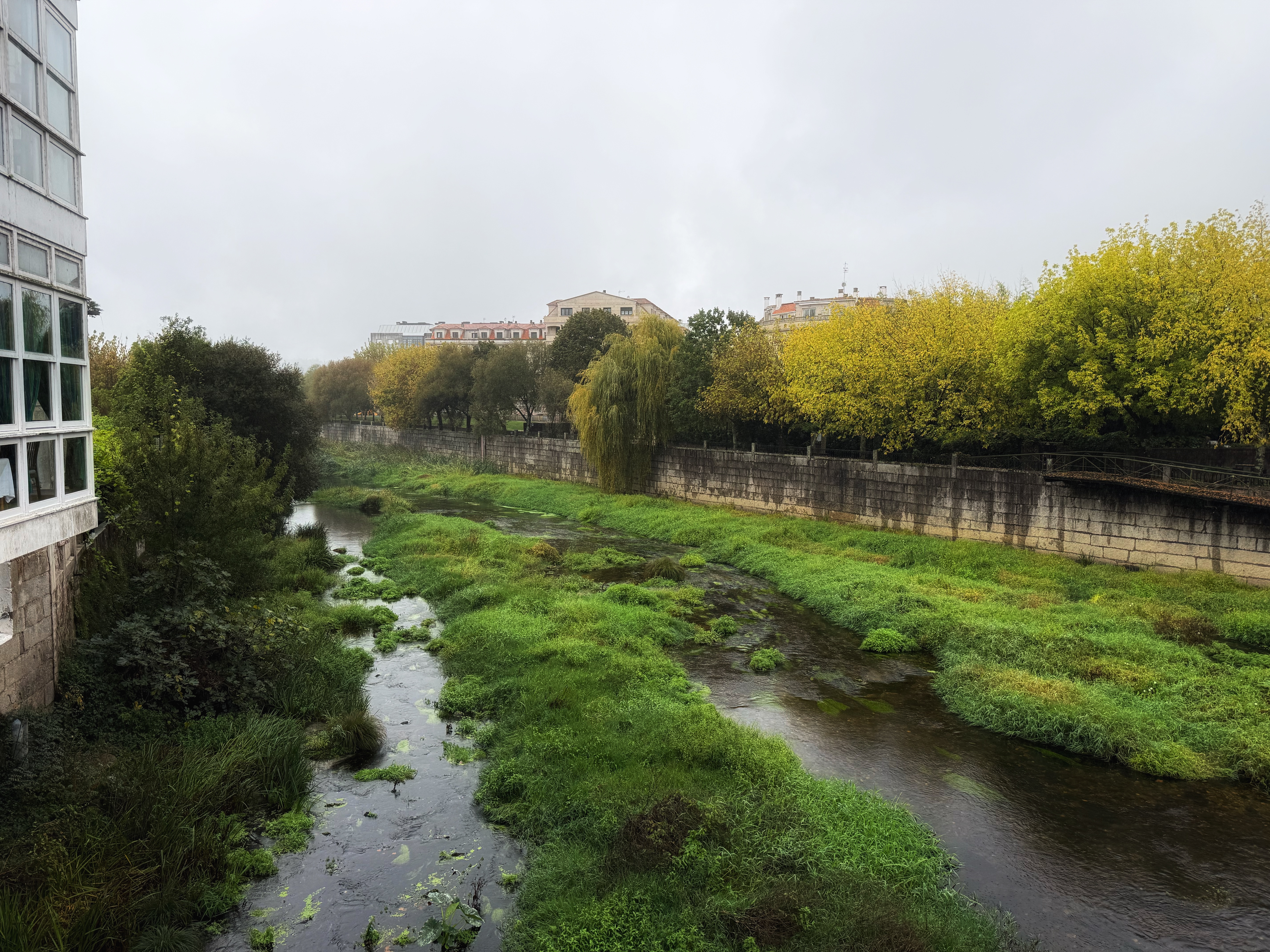
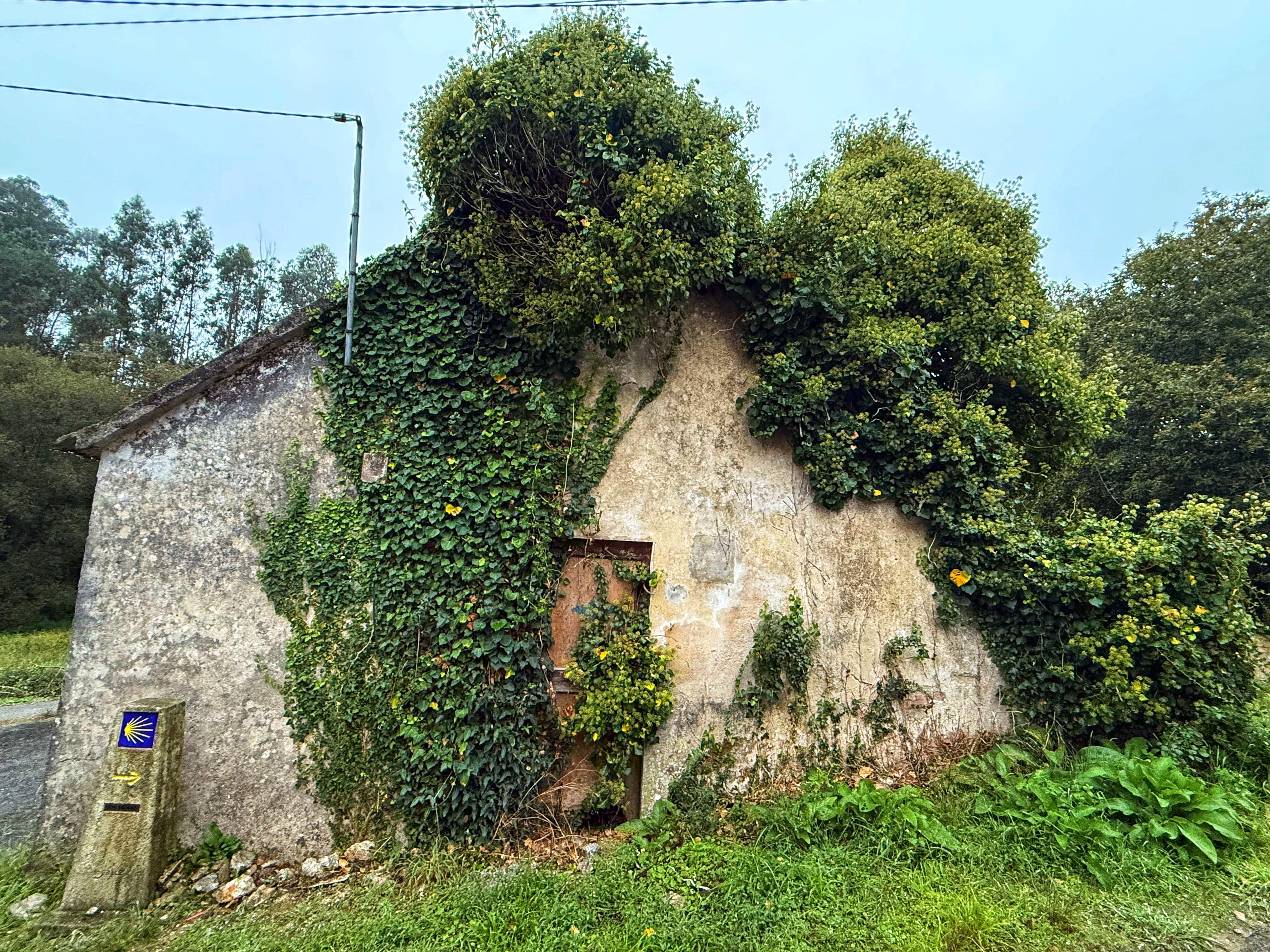
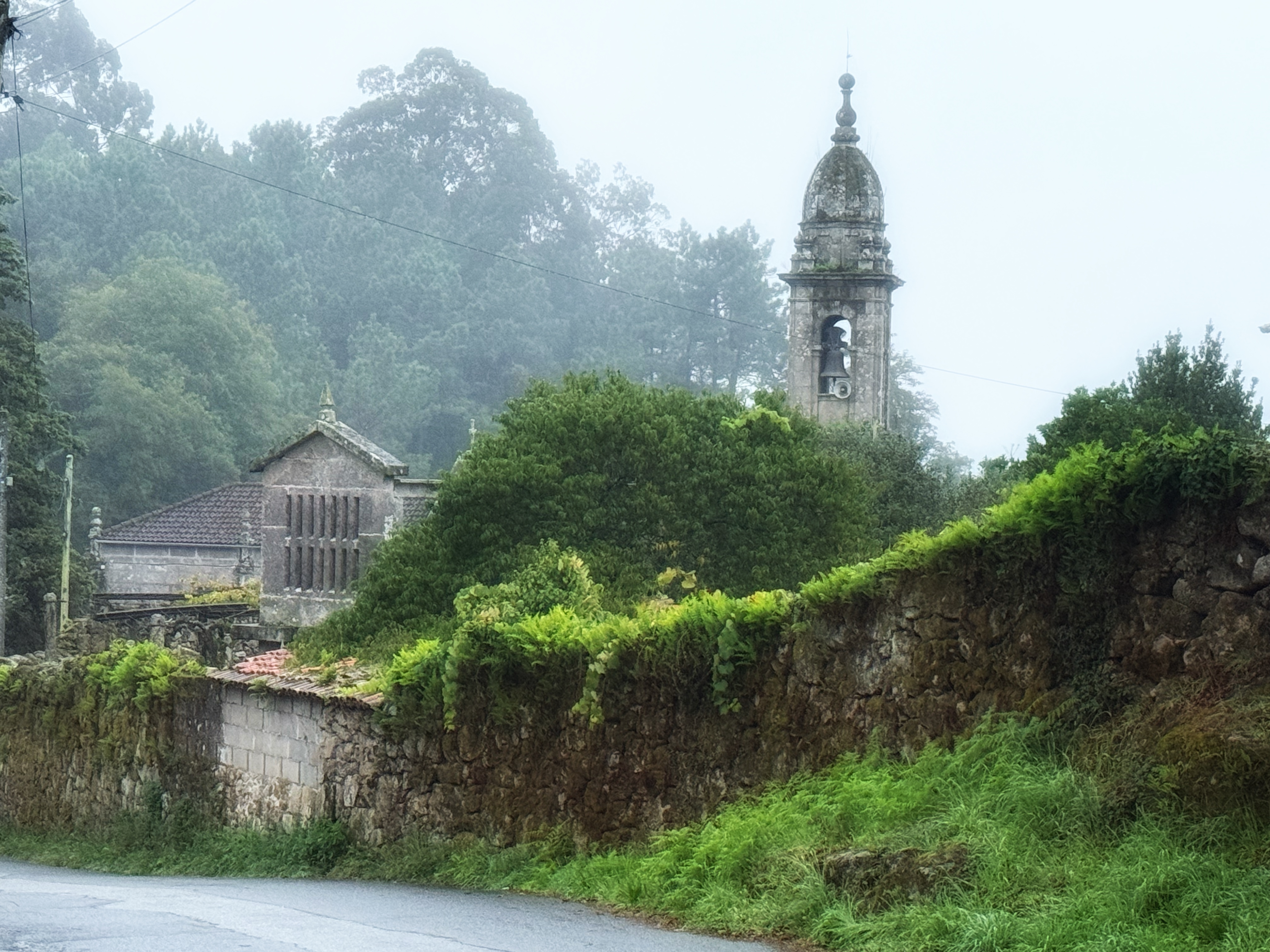
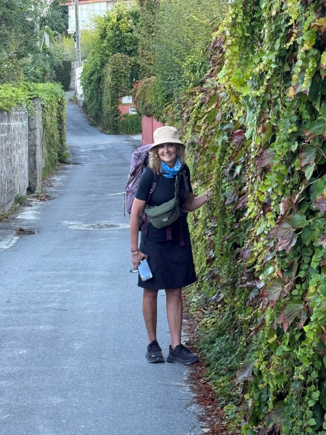
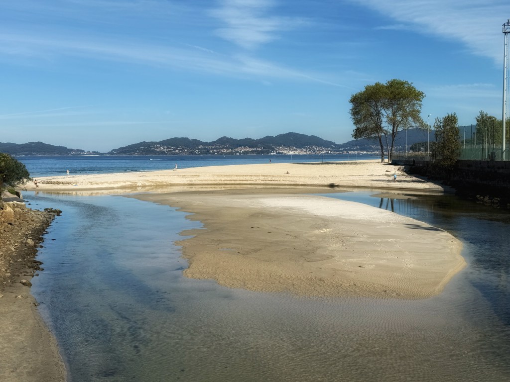
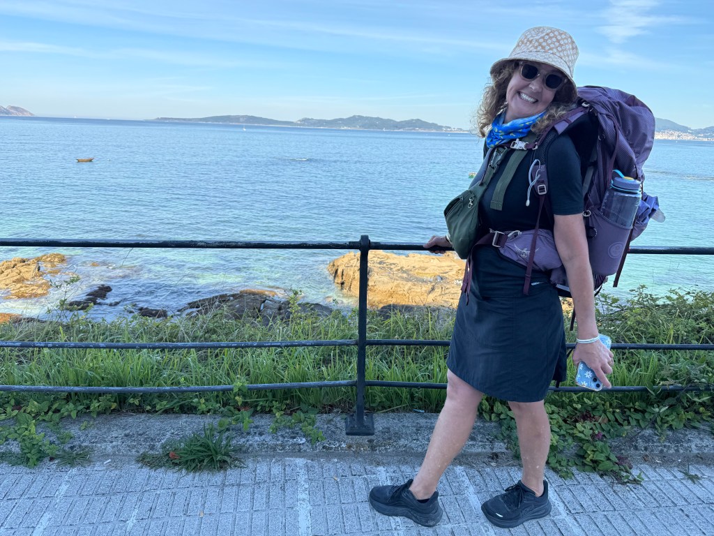
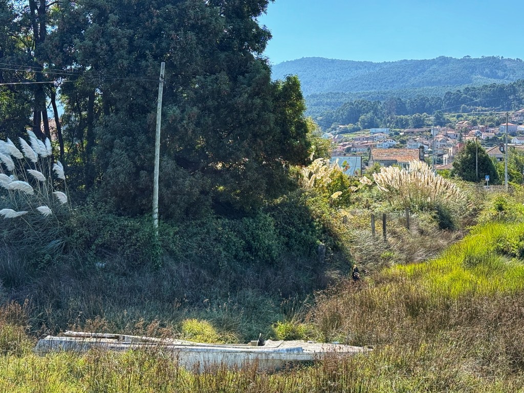
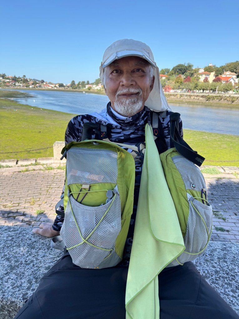
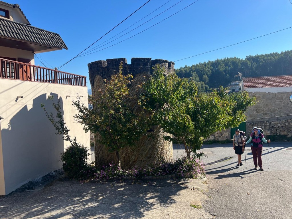
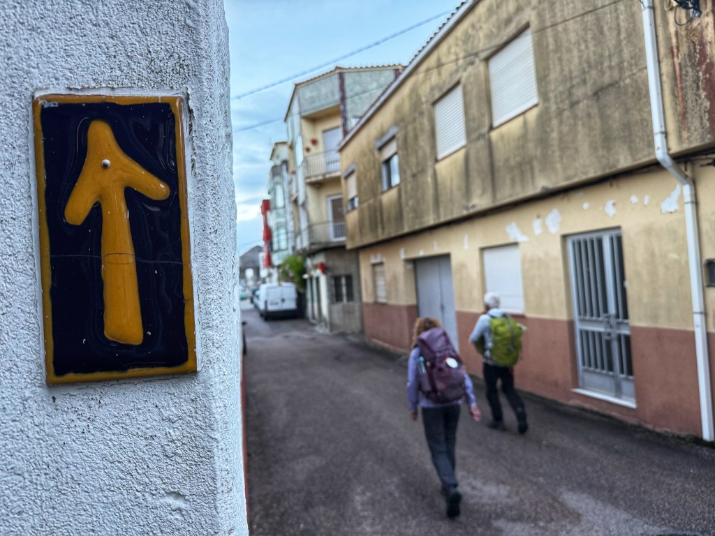
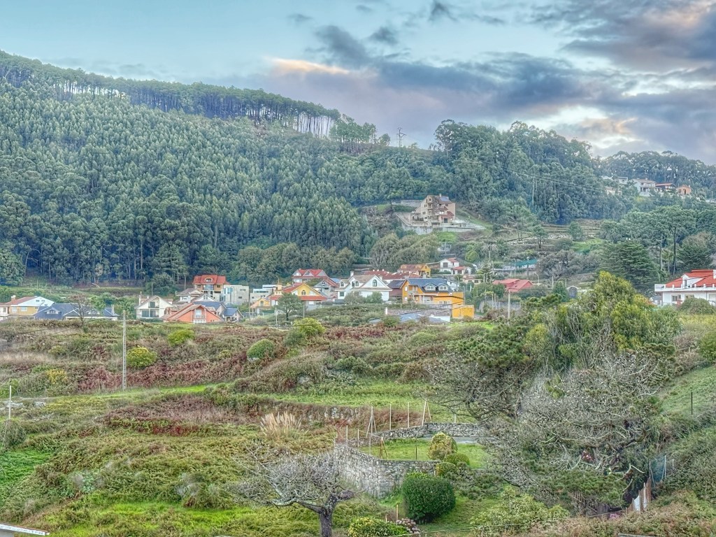
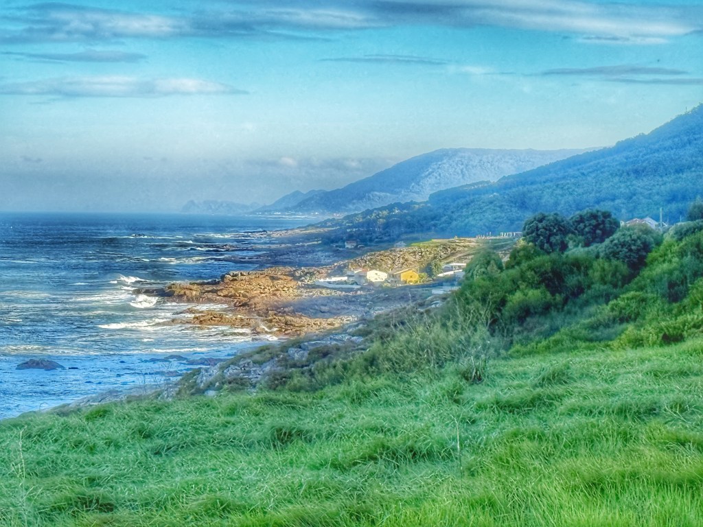
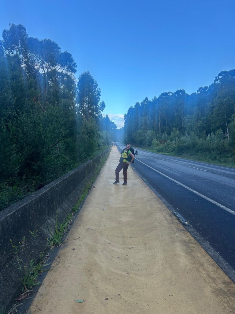
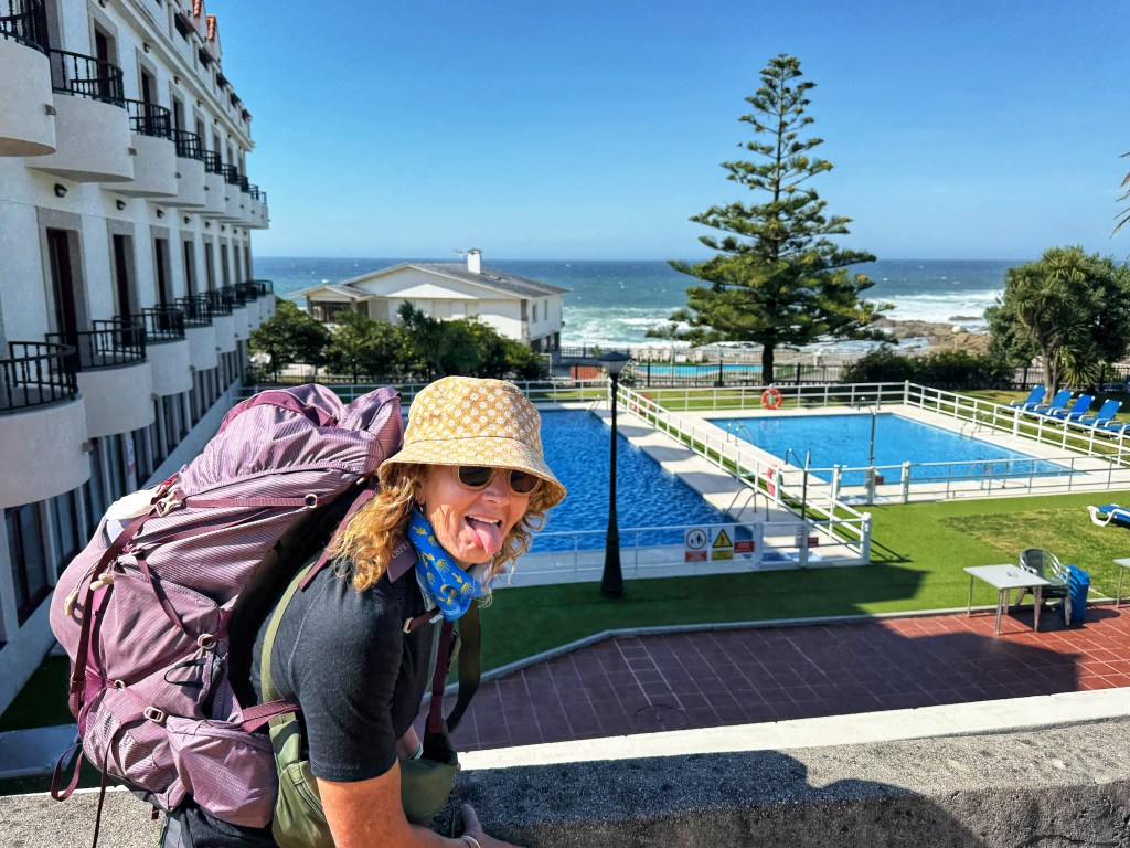
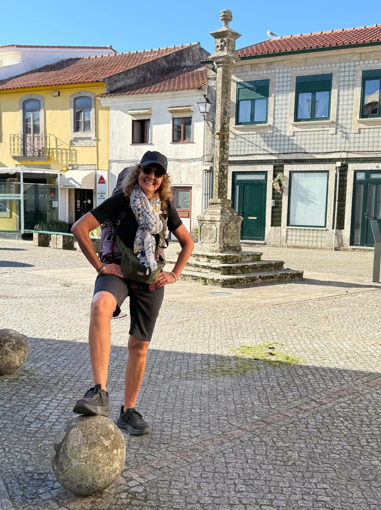
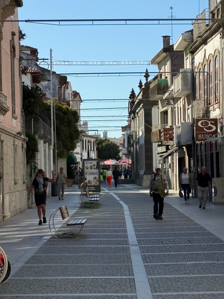
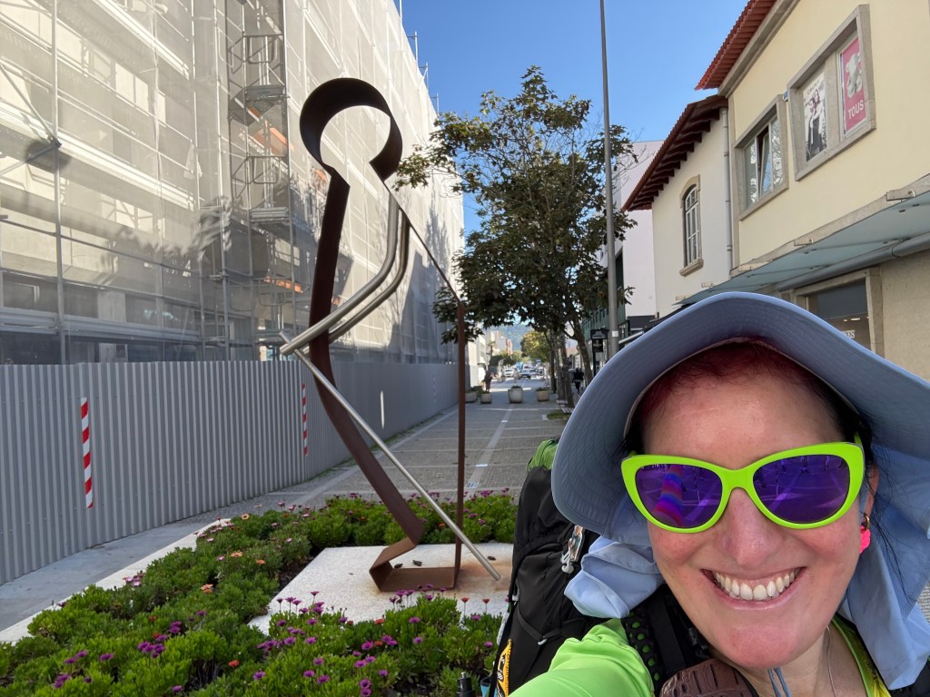
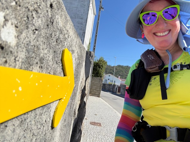
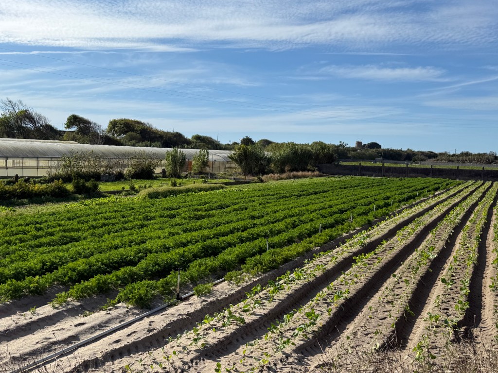
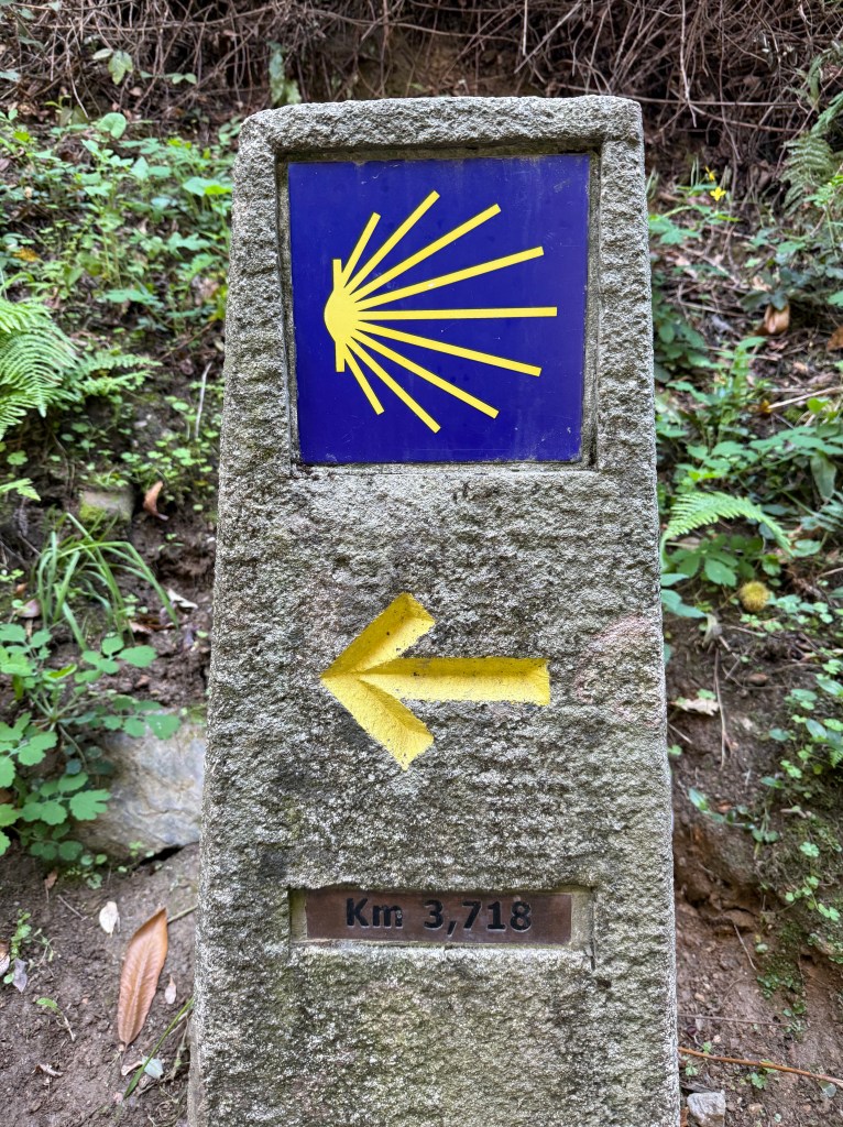
I find the Camino Portuguese route into Santiago lack lustre compared to the Camino Frances. There wasn’t much to look out, lots of road walking and passing through small villages. Mr D went ahead and we lost him until we reached Santiago. Karen’s knee problem decided to flare up again and she suffered along for awhile until the meds kicked in. My right knee was niggling the whole 2 weeks but manageable. Today however it was very sore all day, and I had kept my knee brace on. My left ankle was very swollen and sore but managed better than my right knee. It was too long a walk, I just put up and pushed through the uncomfortable pain and kept walking. I am this close! We weren’t giving up easily.


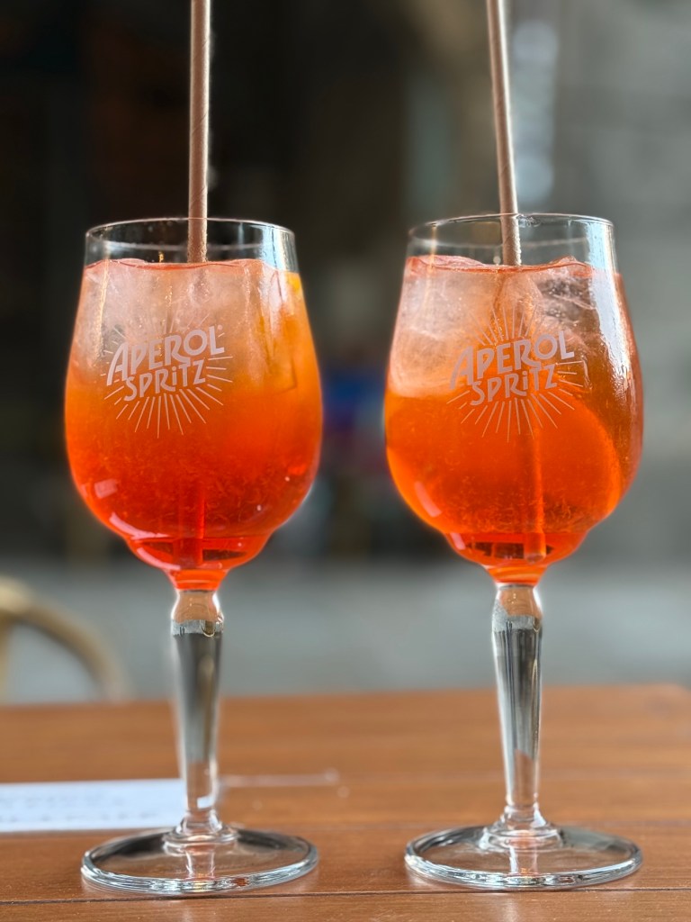
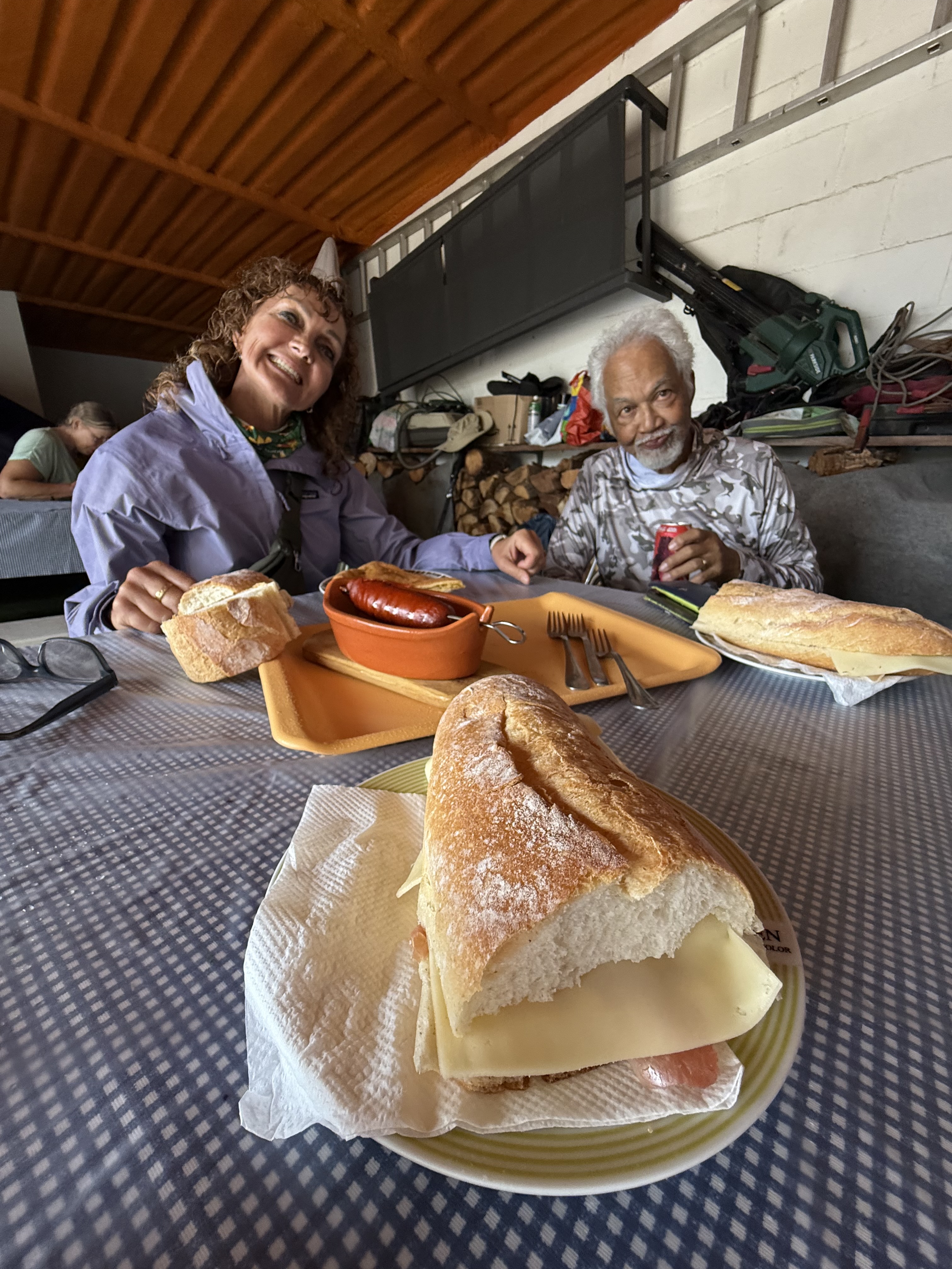
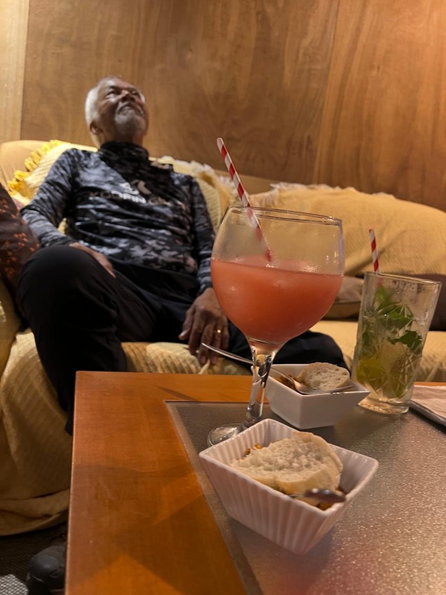
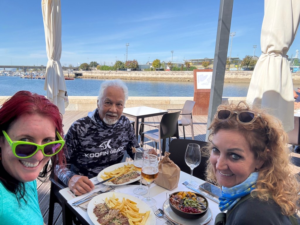
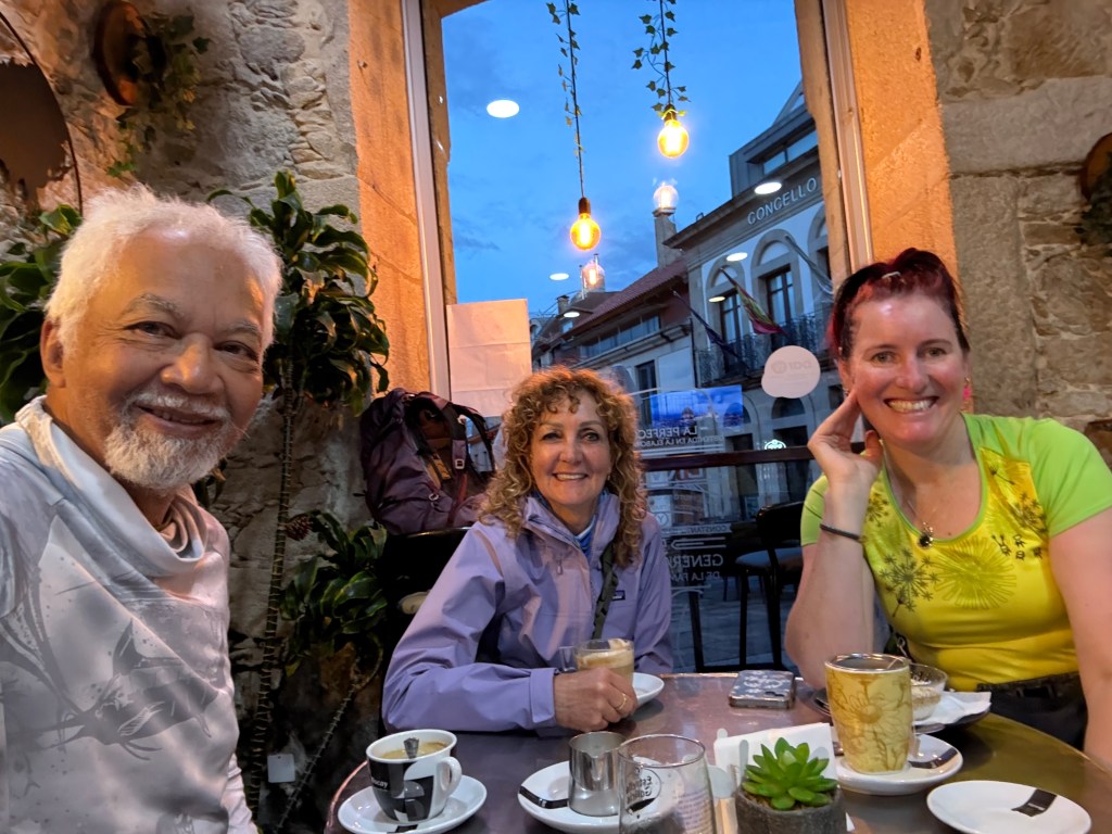
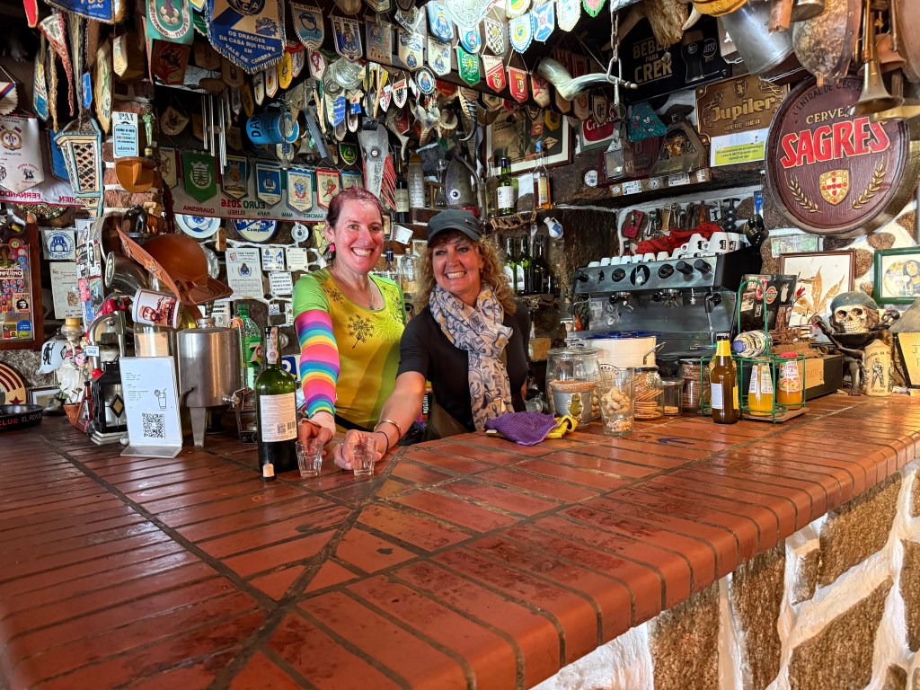
The day had warmed up, there was 8kms to go, we were climbing long bitumen roads and down long bitumen roads. I was getting tired, my feet killing me. There was nowhere to stop to eat. It wasn’t until we were 1.5kms from the Catedral that we reunited with Mr D at a cafe restaurant that was open! There I downed a big beer than wine and we filled ourselves up with tapas delicious tapas food! Watching pilgrims passing by, heads down, looking hot and bothered.


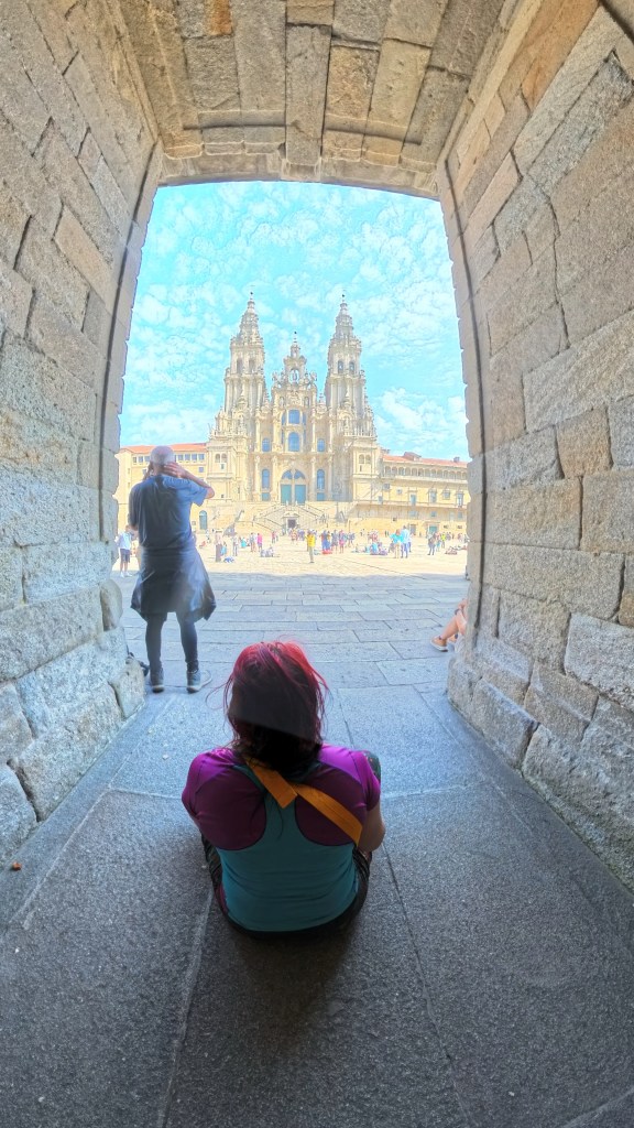
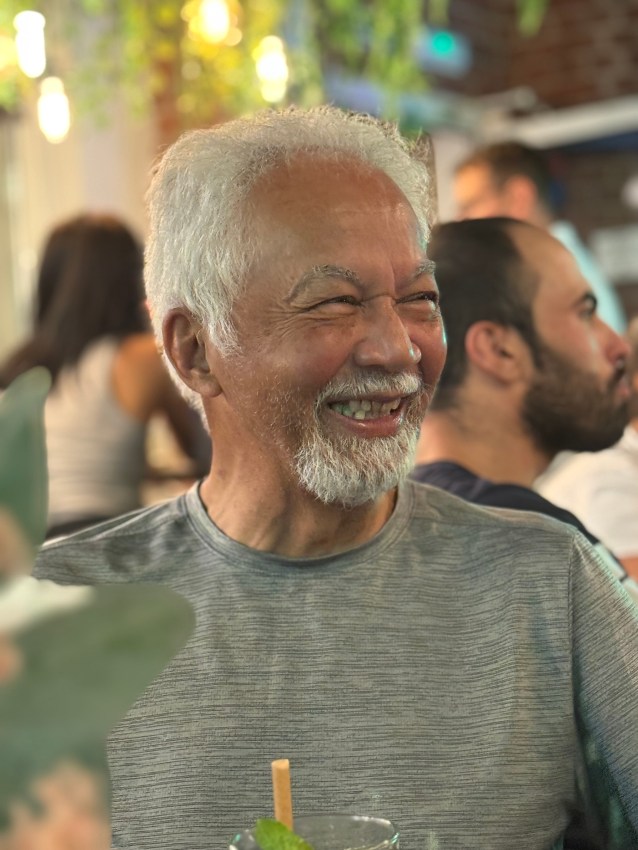
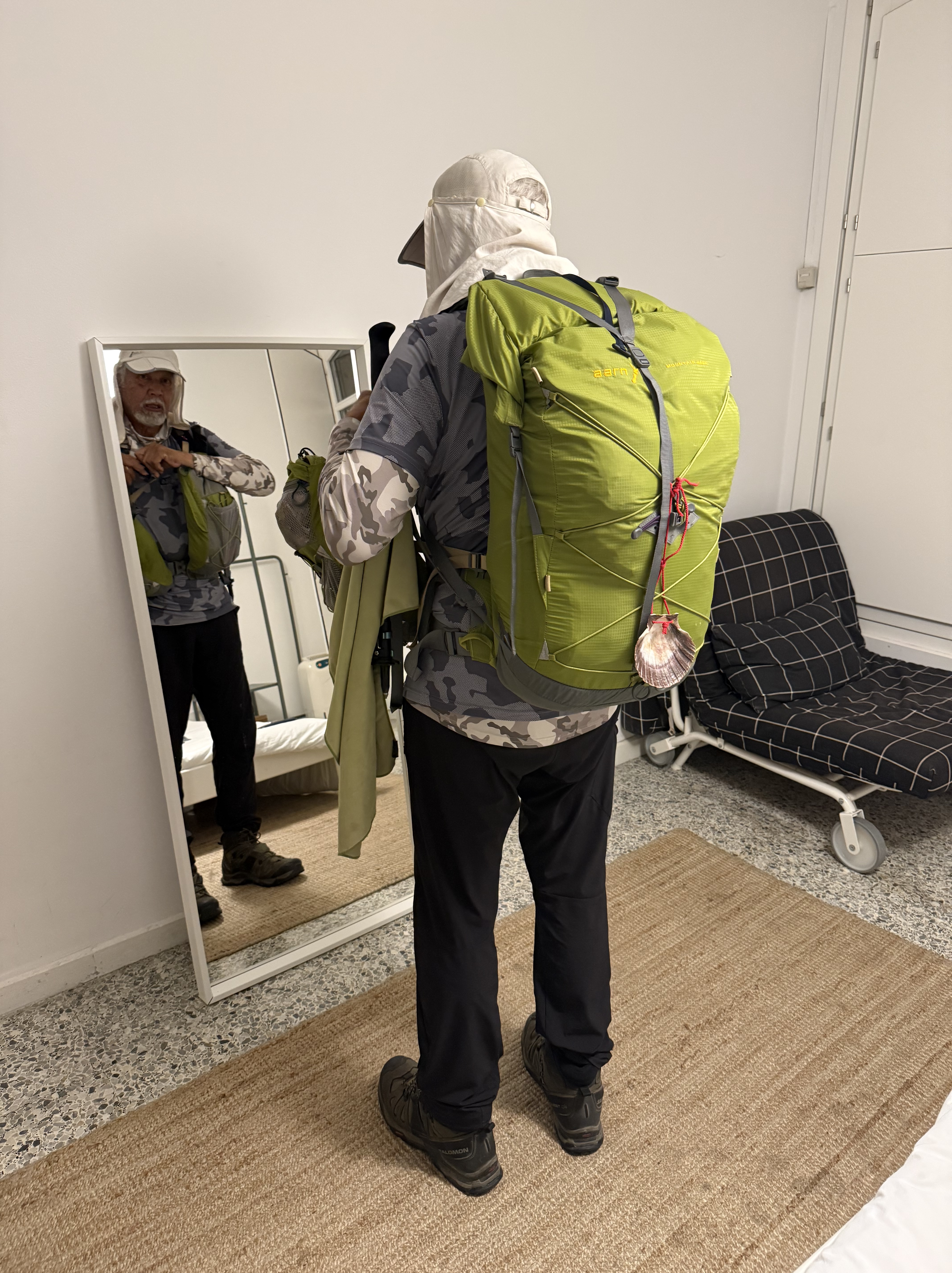
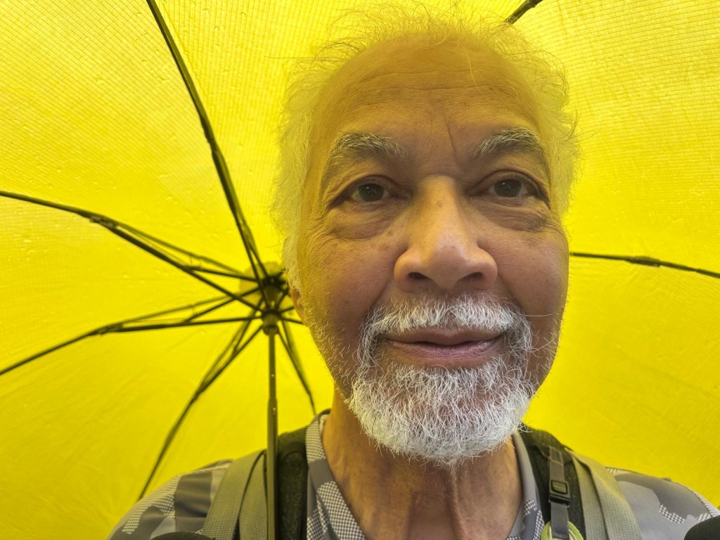
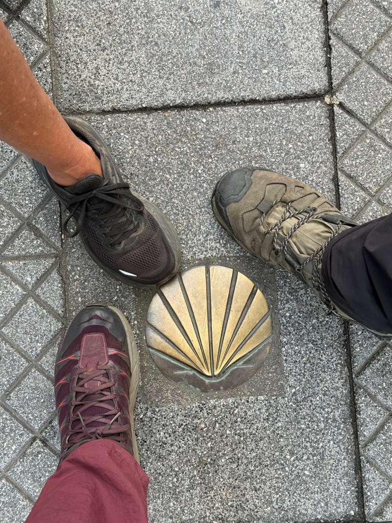
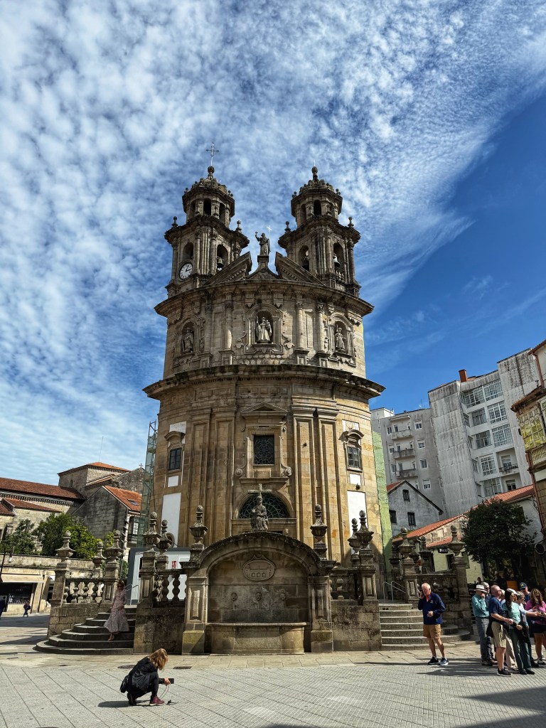
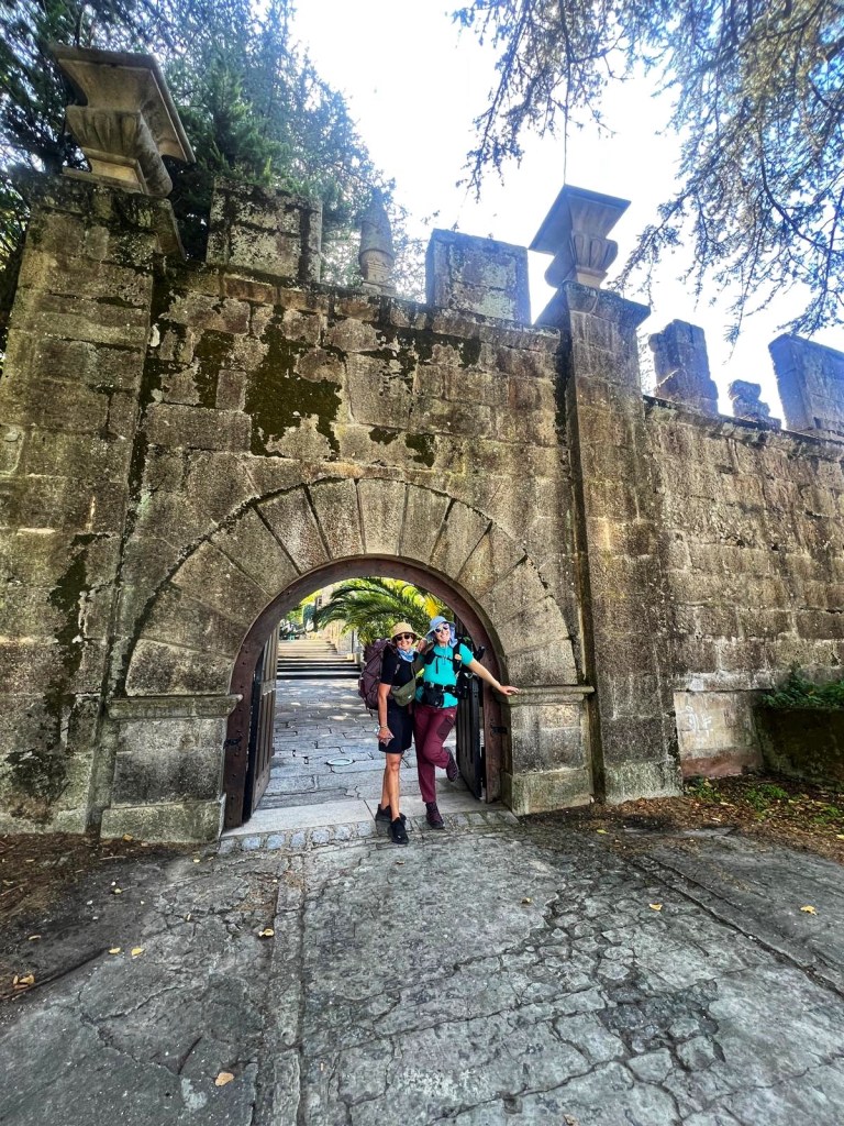
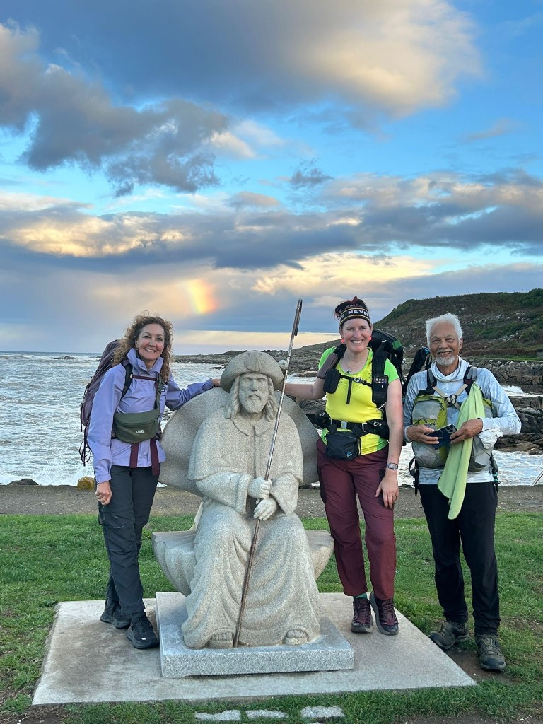
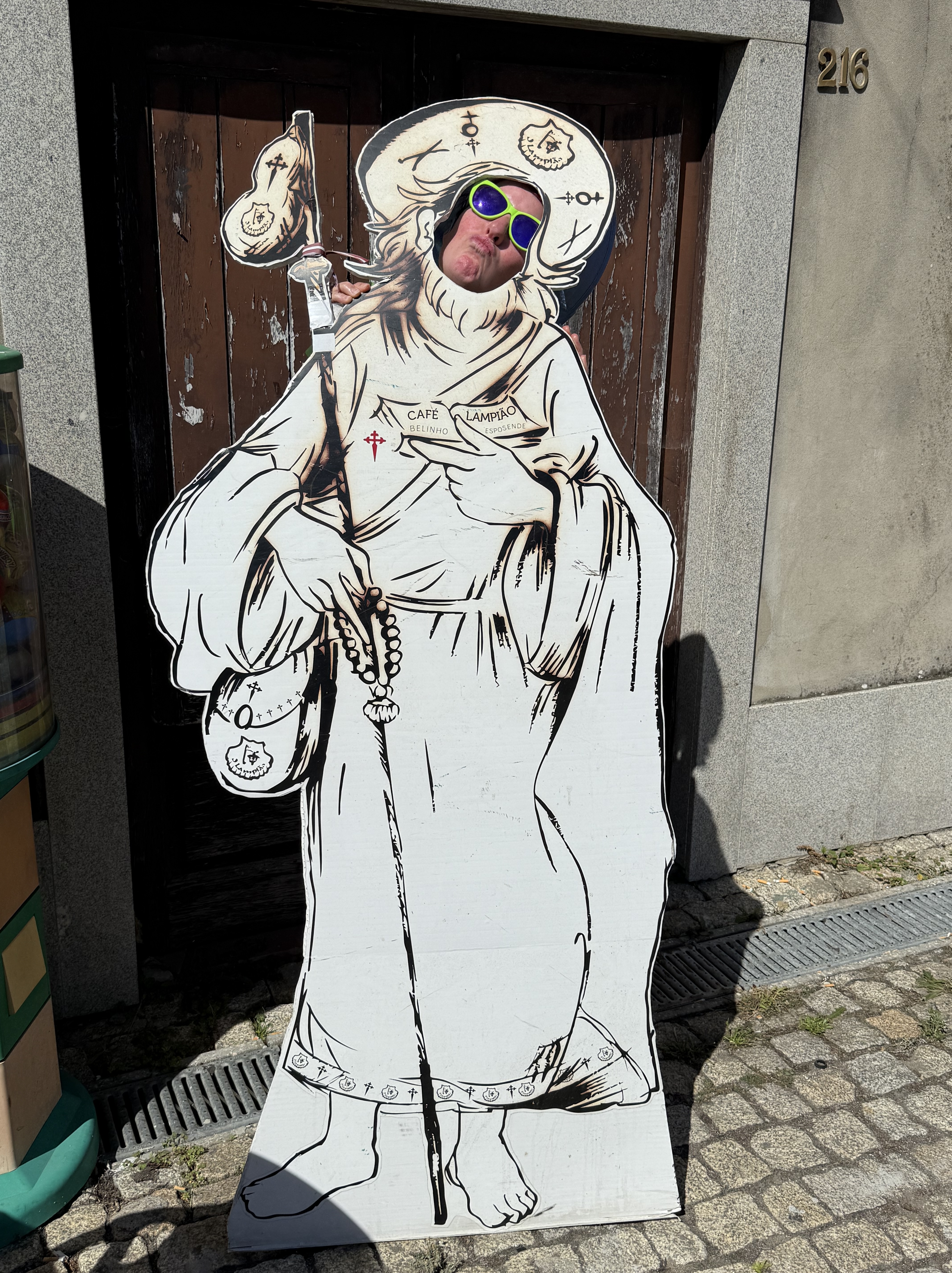
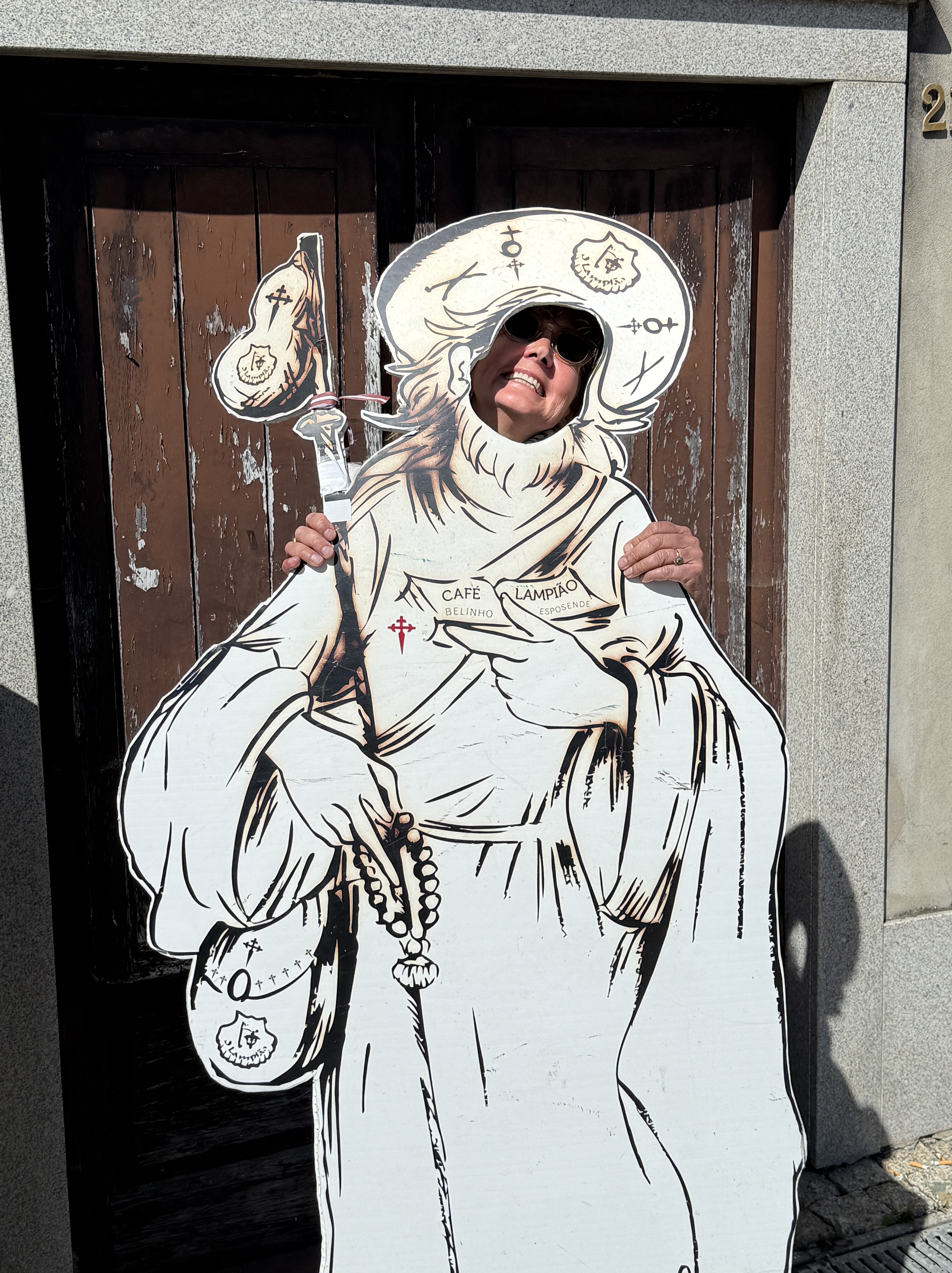
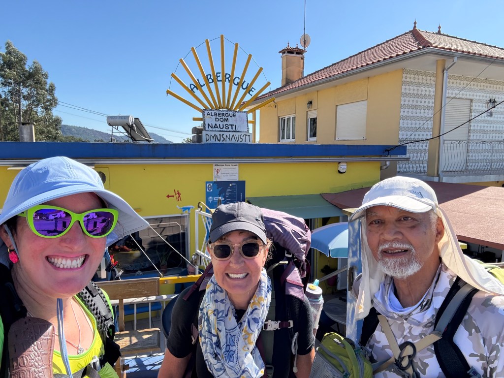
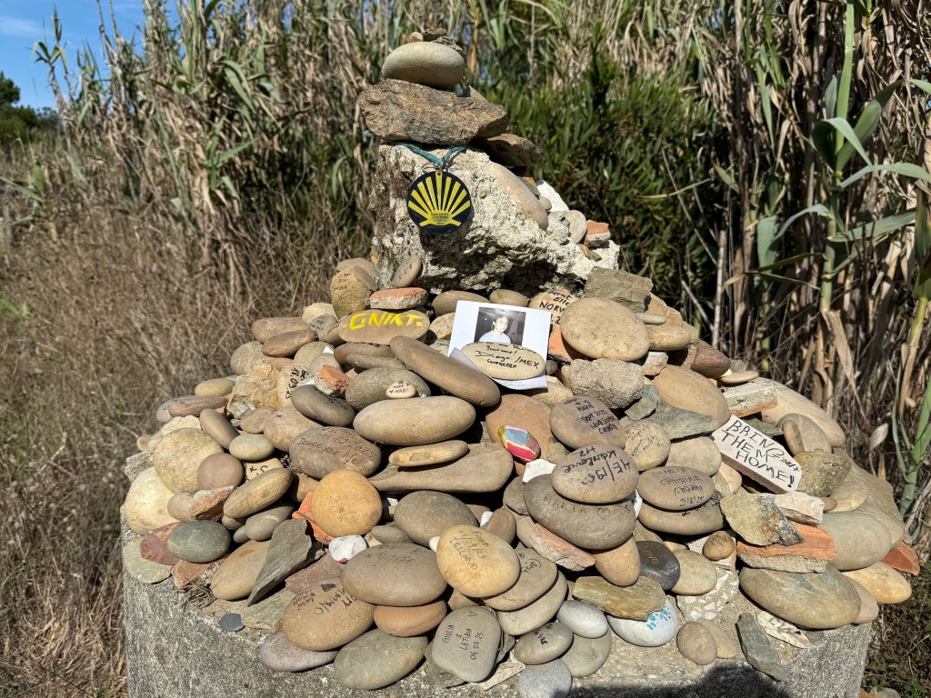
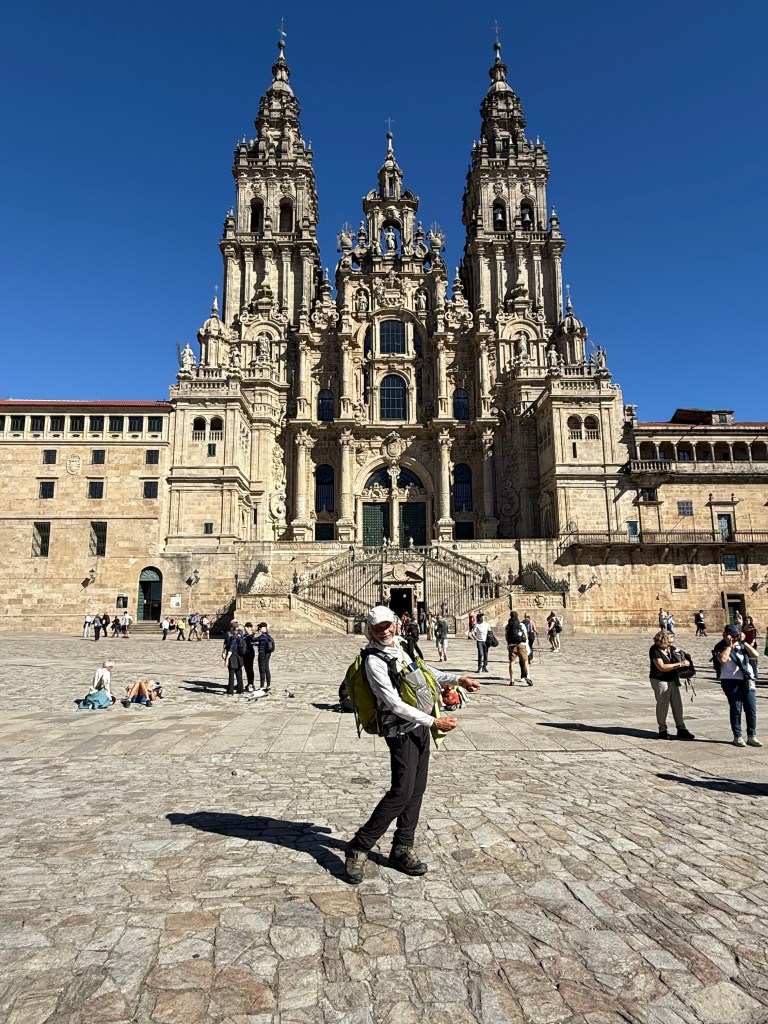
True to his word, Mr D had attached the penguin key ring to his backpack and I noticed it clanging away as he walked. It was a constant reminder to whom wasn’t there, that was meant to be there with us. So we walked into the Catedral the poor cousin way. No archway, no bagpipes playing. Down a busy shopping and restaurant street filled with people and then round the corner into the plaza. There was the Catedral and the end of our walk. The Santiago Catedral in all her beautiful glory. This time not covered in scaffolding. A sight to behold. Lots of people were there with their backpacks, their bikes, posing, happy, elated joy. Others lay on the ground in relief staring up at the Catedral. And it was hot, after 4pm. We had started at 6am, it had taken all day, but we made it!
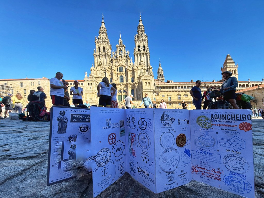


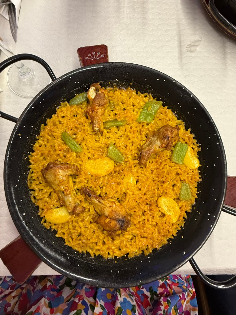
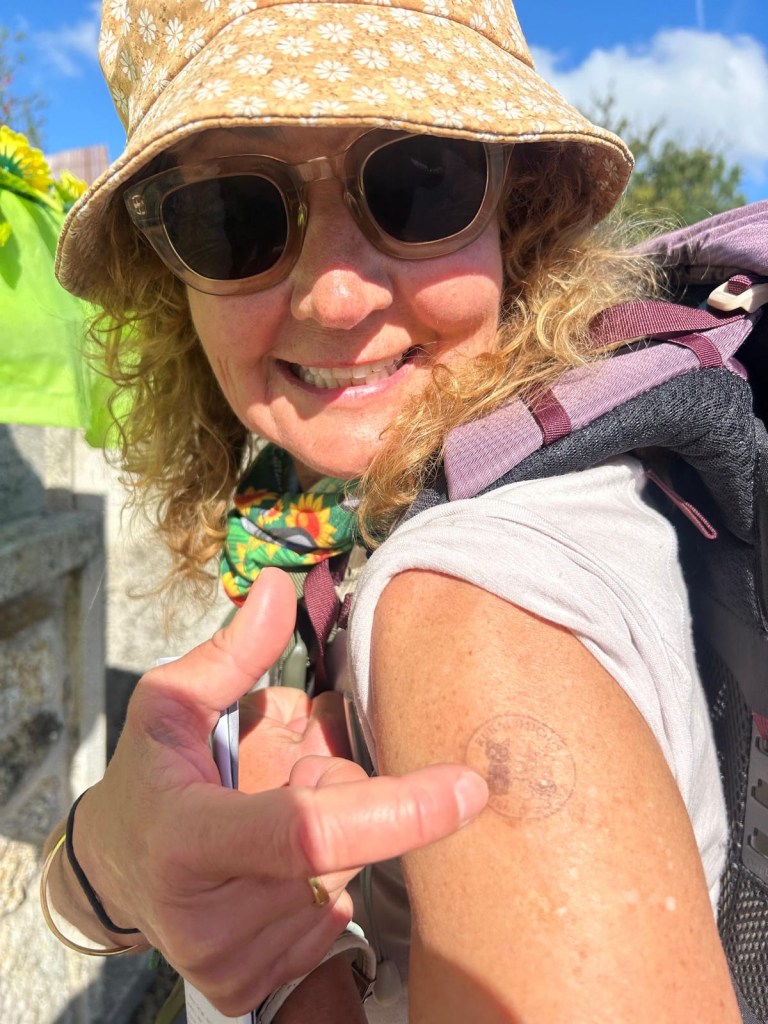
Afterwards we went to get our certificates. Then into our apartment, simple, clean, small. Off to the Supermercado for breakfast items. Then finally as we had walked in earlier, spotted Paella Pollo. I had been wanting it since arriving in Spain. So we had Paella then watched a live band play near the Catedral, a perfect end to the day. And the end of our second Camino.